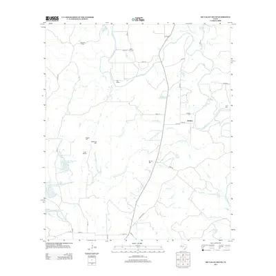
2013 Map of Big Valley South
USGS Topo · Published 2013About this map
McMillan and Big Valley anchor this Central Texas landscape where the meandering Colorado River defines the local topography. This 2013 survey reveals a rural territory structured by family history and water management, evidenced by the McMillin Cem and Lower Valley Cem. The terrain is characterized by distinct elevations such as Wildhorse Mtn, Round Mtn, and the Mauldin Hills, which overlook a network of seasonal watercourses including Horse Cr and Rocky Cr.
Find a feature on this map
48 named features on this map. Tap any name to fly to it.
Don’t see what you’re looking for? This feature index may not catch every label — zoom into the map to look around manually.
Map Details
Editions of this 2013 Big Valley South Map
This is the sole edition of this map. No revisions or reprints were ever made.
Other maps of this area

1885 · San Saba
USGS Topo · 1:125,000

1894 · San Saba
USGS Topo · 1:125,000

1925 · San Saba 4-a
USGS Topo · 1:48,000

1925 · San Saba 2-a
USGS Topo · 1:48,000

1925 · San Saba 1-c
USGS Topo · 1:48,000

1925 · San Saba 1-b
USGS Topo · 1:48,000

1925 · San Saba 1-d
USGS Topo · 1:48,000

1928 · Goldthwaite
USGS Topo · 1:62,500

1930 · Richland Springs
USGS Topo · 1:62,500

1931 · Bend
USGS Topo · 1:62,500