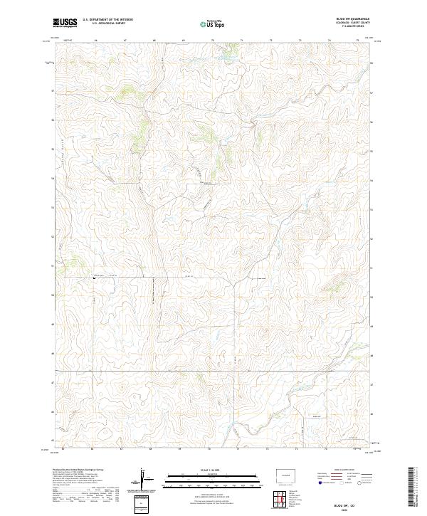
2022 Map of Bijou SW
USGS Topo · Published 2022About this map
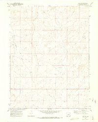
The Norton Cem sits at the intersection of Co RD 93 and Co RD 122, marking a quiet corner of the plains where agricultural boundaries and ranching tracts dictate the landscape. This modern survey reveals a highly organized network of drainage management, anchored by the Walter Burns Detention Reservoir and a system of intermittent waterways including Middle Bijou Cr and East Bijou Creek. The terrain is defined by the erosion patterns of Spring Gulch and Wilson Creek, which carve through the high prairie land.
Find a feature on this map
27 named features on this map. Tap any name to fly to it.
Don’t see what you’re looking for? This feature index may not catch every label — zoom into the map to look around manually.
Map Details
Editions of this 2022 Bijou SW Map
This is the sole edition of this map. No revisions or reprints were ever made.
Other maps of this area

1953 · Denver
USGS Topo · 1:250,000

1957 · Denver
USGS Topo · 1:250,000

1958 · Denver
USGS Topo · 1:250,000

1960 · Denver
USGS Topo · 1:250,000
1970 · Kiowa NE
USGS Topo · 1:24,000

1970 · Big Gulch
USGS Topo · 1:24,000
1970 · Cattle Gulch
USGS Topo · 1:24,000
1970 · Fondis
USGS Topo · 1:24,000
1970 · Bijou SW
USGS Topo · 1:24,000
1970 · Bijou
USGS Topo · 1:24,000