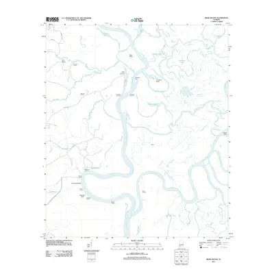
2011 Map of Bilbo Island
USGS Topo · Published 2011About this map
Nanahubba Bluff and Seaboard Bluff stand as prominent markers along the winding river system where the Tombigbee River and Alabama River converge to form the Mobile River. This complex delta landscape is defined by its intricate network of waterways, including the Alabama River Cutoff, Bearpen Gut, and Poll Bayou. The geography reveals a history of river-based commerce and access, evidenced by numerous small settlements and specialized outposts like Bates Landing Fish Camp, Laurel Shanty Landing, and Webbs Landing.
Find a feature on this map
50 named features on this map. Tap any name to fly to it.
Don’t see what you’re looking for? This feature index may not catch every label — zoom into the map to look around manually.
Map Details
Editions of this 2011 Bilbo Island Map
This is the sole edition of this map. No revisions or reprints were ever made.
Other maps of this area

1943 · Choctaw Bluff
USGS Topo · 1:62,500

1943 · Tensaw
USGS Topo · 1:62,500

1943 · Citronelle
USGS Topo · 1:62,500

1943 · McIntosh
USGS Topo · 1:62,500

1944 · McIntosh
USGS Topo · 1:62,500

1944 · Tensaw
USGS Topo · 1:62,500

1946 · Citronelle
USGS Topo · 1:62,500

1946 · Choctaw Bluff
USGS Topo · 1:62,500

1953 · Andalusia
USGS Topo · 1:250,000

1953 · Hattiesburg
USGS Topo · 1:250,000