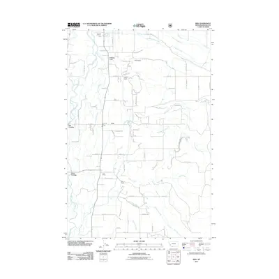
2011 Map of Bing
USGS Topo · Published 2011About this map
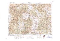
The Bitterroot River provides the geographical anchor for this portion of Ravalli County, winding through a landscape defined by ranching and rural residential development. The map details the transition from the river bottom at Bell Crossing to the higher drainages of Willoughby Creek and South Burnt Fork Creek. Local infrastructure is concentrated around the railroad corridor, evidenced by Victor Siding and the nearby Victor Crossing. Small community clusters like Bing and Pine Hollow are connected by a dense network of local roads such as Pine Hollow Rd and Cash Nichols Rd. This 2011 survey captures the area's contemporary rural character, from the Riverview Cemetery on the northern edge to the Stevensville Rural Fire Sta which serves the surrounding valley. The drainage patterns of Dry Gulch and Treece Gulch illustrate the varying terrain as it rises from the Bitterroot Valley floor.
Find a feature on this map
94 named features on this map. Tap any name to fly to it.
Don’t see what you’re looking for? This feature index may not catch every label — zoom into the map to look around manually.
Map Details
Editions of this 2011 Bing Map
This is the sole edition of this map. No revisions or reprints were ever made.
Other maps of this area
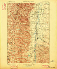
1901 · Hamilton
USGS Topo · 1:125,000
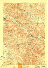
1903 · Bonner
USGS Topo · 1:125,000
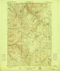
1909 · Sapphire
USGS Topo · 1:125,000
1912 · Missoula
USGS Topo · 1:125,000

1947 · Butte
USGS Topo · 1:250,000
1956 · Hamilton
USGS Topo · 1:250,000

1958 · Butte
USGS Topo · 1:250,000
1959 · Hamilton
USGS Topo · 1:250,000
1959 · Cleveland Mountain
USGS Topo · 1:62,500
1960 · Butte
USGS Topo · 1:250,000