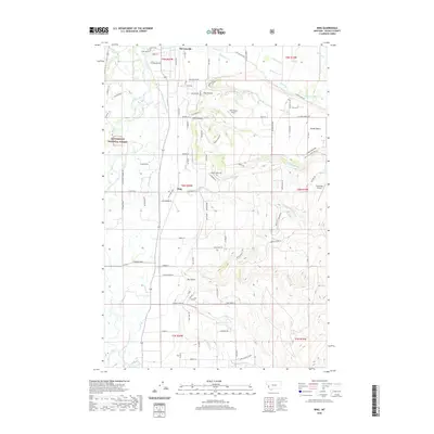
2020 Map of Bing
USGS Topo · Published 2020About this map
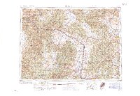
The Bitterroot River meanders through the western portion of this landscape, defining a fertile valley floor marked by the northern reach of Bitterroot National Forest. The settlement patterns here follow the river's path and the transition to elevated plateaus like Sunset Bench to the east. Agriculture and rural life are anchored by the community of Stevensville at the northern edge, where the Riverside Cem sits near the riverbanks. The map shows a network of named gulches and drainage creeks, including Treece Gulch and Dry Gulch, that cut through the rising terrain toward the mountains. Smaller clusters of development appear at Bing and Pine Hollow, while aviation infrastructure is represented by the local Brier Patch Airport and Rosemont Airport. This survey provides a clear view of the intersection between the riparian environment and the increasingly structured rural residential landscape of Ravalli County.
Find a feature on this map
102 named features on this map. Tap any name to fly to it.
Don’t see what you’re looking for? This feature index may not catch every label — zoom into the map to look around manually.
Map Details
Editions of this 2020 Bing Map
This is the sole edition of this map. No revisions or reprints were ever made.
Other maps of this area
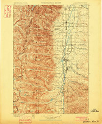
1901 · Hamilton
USGS Topo · 1:125,000
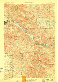
1903 · Bonner
USGS Topo · 1:125,000
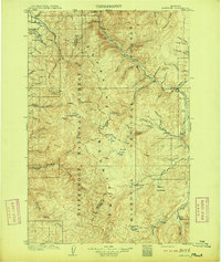
1909 · Sapphire
USGS Topo · 1:125,000
1912 · Missoula
USGS Topo · 1:125,000

1947 · Butte
USGS Topo · 1:250,000
1956 · Hamilton
USGS Topo · 1:250,000

1958 · Butte
USGS Topo · 1:250,000
1959 · Hamilton
USGS Topo · 1:250,000
1959 · Cleveland Mountain
USGS Topo · 1:62,500
1960 · Butte
USGS Topo · 1:250,000