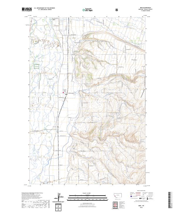
2024 Map of Bing
USGS Topo · Published 2024About this map
Bing sits at the heart of this Bitterroot Valley landscape, where the flat valley floor meets the rising timber of the Bitterroot National Forest. The settlement pattern follows the drainage of the Bitterroot River, with long-established irrigation and access roads like Baldwin Rd and S Burnt Fork Rd defining the agricultural grid. The transition from the river bottom to the high benches is marked by topographic features like Pine Hollow and Sunset Bench, indicating the significant elevation changes that characterize the eastern edge of the valley.
Find a feature on this map
91 named features on this map. Tap any name to fly to it.
Don’t see what you’re looking for? This feature index may not catch every label — zoom into the map to look around manually.
Map Details
Editions of this 2024 Bing Map
This is the sole edition of this map. No revisions or reprints were ever made.
Other maps of this area

1901 · Hamilton
USGS Topo · 1:125,000

1903 · Bonner
USGS Topo · 1:125,000

1909 · Sapphire
USGS Topo · 1:125,000

1912 · Missoula
USGS Topo · 1:125,000

1947 · Butte
USGS Topo · 1:250,000

1956 · Hamilton
USGS Topo · 1:250,000

1958 · Butte
USGS Topo · 1:250,000

1959 · Hamilton
USGS Topo · 1:250,000

1959 · Cleveland Mountain
USGS Topo · 1:62,500

1960 · Butte
USGS Topo · 1:250,000