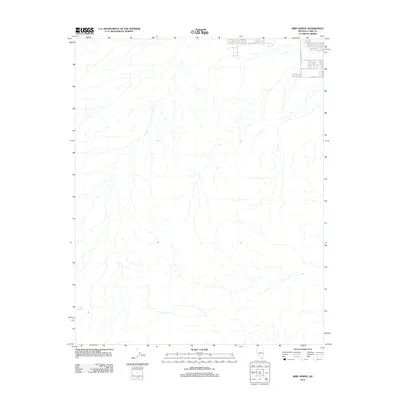
2012 Map of Bird Spring
USGS Topo · Published 2012About this map
Bird Spring serves as the central landmark for this arid reach of Clark County, which remained largely open terrain at the beginning of the twenty-first century. The map captures the edge of expanding infrastructure as a small grid of development begins to appear in the northeast corner. These residential streets, including W Cactus Ave, S Buffalo Dr, and W Starr Ave, represent the initial push of suburban growth into the desert landscape. Beyond this small cluster of modern roads, the topography is defined by natural drainage patterns and the isolated feature of the spring itself, providing a clear record of the transition from desert wilderness to managed suburban space.
Find a feature on this map
4 named features on this map. Tap any name to fly to it.
Don’t see what you’re looking for? This feature index may not catch every label — zoom into the map to look around manually.
Map Details
Editions of this 2012 Bird Spring Map
This is the sole edition of this map. No revisions or reprints were ever made.
Other maps of this area

1907 · Las Vegas
USGS Topo · 1:250,000

1908 · Las Vegas
USGS Topo · 1:250,000

1910 · Ivanpah
USGS Topo · 1:250,000

1912 · Ivanpah
USGS Topo · 1:250,000

1942 · Ivanpah
USGS Topo · 1:250,000

1947 · Kingman
USGS Topo · 1:250,000

1948 · Kingman
USGS Topo · 1:250,000

1952 · Blue Diamond
USGS Topo · 1:62,500

1952 · Las Vegas
USGS Topo · 1:62,500

1954 · Las Vegas
USGS Topo · 1:250,000