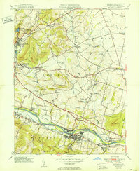
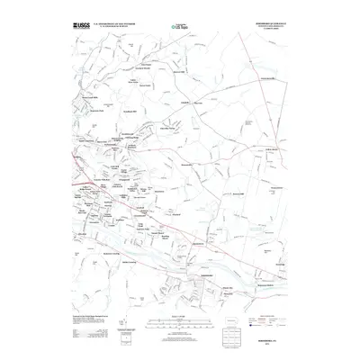
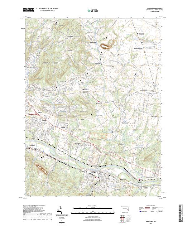
1950 Map of Birdsboro
USGS Topo · Published 1950About this map
The Schuylkill River corridor serves as the industrial and transportation anchor for this part of Berks County, where the town of Birdsboro sits at a critical junction of the Reading railroad lines and the old (Abandoned) Pennsylvania Canal. The landscape reveals a dense network of early Pennsylvania German settlement, evidenced by landmarks like the Daniel Boone Homestead and the Exeter Friends Meeting House. Moving north from the river, the terrain rises into hills such as Monocacy Hill and Schwarzwald Hill, where agricultural valleys are dotted with historic mills including Beavers Mill and Browns Mill.
Find a feature on this map
77 named features on this map. Tap any name to fly to it.
Don’t see what you’re looking for? This feature index may not catch every label — zoom into the map to look around manually.
Map Details
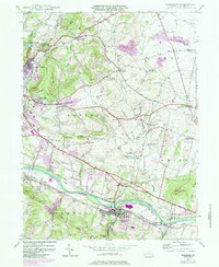
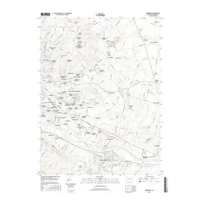
Editions of this 1950 Birdsboro Map
This is the sole edition of this map. No revisions or reprints were ever made.
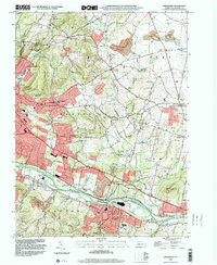
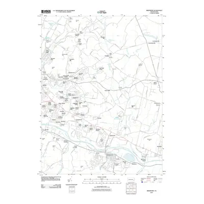
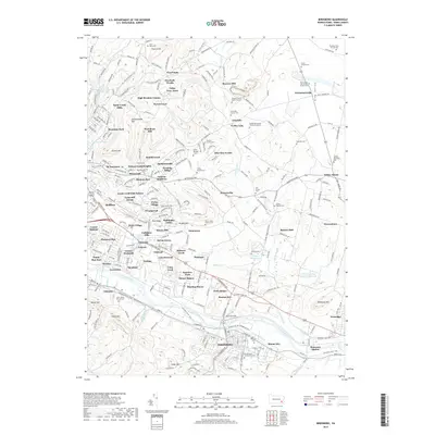
Historical Maps of Birdsboro Through Time
8 maps found
Featured Locations
- Union Township, PA
- Birdsboro, PA
- St. Lawrence, PA
- Oley Township, PA
- Village of Jacksonwald, Exeter Township