
1956 Map of Birmingham
USGS Topo · Published 1957About this map
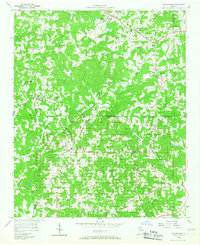
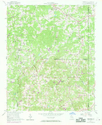
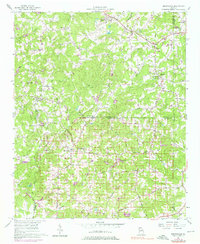
The rural community of Birmingham sits at the intersection of several historic road networks in the mid-1950s, serving as a hub for the surrounding upland landscape. This survey documents a social fabric defined by country churches and schools, such as Boiling Spring Ch, Arbor Hill Ch, and the Union Hill Sch. The landscape is characterized by its agricultural character and the winding courses of Little River and Chicken Creek, which drain the rolling terrain between the county lines of Cherokee, Forsyth, and Fulton.
Find a feature on this map
53 named features on this map. Tap any name to fly to it.
Don’t see what you’re looking for? This feature index may not catch every label — zoom into the map to look around manually.
Map Details
Editions of this 1956 Birmingham Map
4 editions found
Other maps of this area

1890 · Suwanee
USGS Topo · 1:125,000

1894 · Suwanee
USGS Topo · 1:125,000

1926 · Tate
USGS Topo · 1:62,500

1928 · Tate
USGS Topo · 1:62,500

1955 · Rome
USGS Topo · 1:250,000

1956 · Duluth
USGS Topo · 1:24,000
1956 · Mountain Park
USGS Topo · 1:24,000

1956 · Roswell
USGS Topo · 1:24,000

1958 · Rome
USGS Topo · 1:250,000

1961 · Rome
USGS Topo · 1:250,000