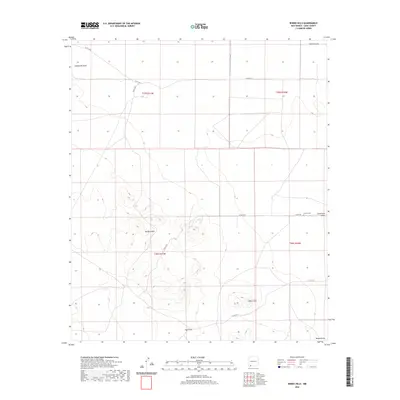
2020 Map of Bisbee Hills
USGS Topo · Published 2020About this map
Burdick Hills and the neighboring Bisbee Hills dominate this portion of the Luna County landscape, rising above a network of ephemeral watercourses. This 2020 topographic record identifies the Carroll Cem as a primary site of local historical interest, situated just north of Seventysix Draw. The terrain is defined by its drainage patterns, with Gap Draw and Bisbee Draw channeling runoff across the desert flats. A grid of county roads, including Gage Station Rd and Co RD c020, provides access to these isolated elevations and the surrounding ranching sections. The map serves as a contemporary reference for this arid region, where land use remains centered on large-scale grazing allotments and the preservation of small, historic family burial grounds like Carroll Cem.
Find a feature on this map
16 named features on this map. Tap any name to fly to it.
Don’t see what you’re looking for? This feature index may not catch every label — zoom into the map to look around manually.
Map Details
Editions of this 2020 Bisbee Hills Map
This is the sole edition of this map. No revisions or reprints were ever made.
Other maps of this area

1899 · Deming
USGS Topo · 1:125,000

1915 · Deming
USGS Topo · 1:125,000

1917 · Hermanas
USGS Topo · 1:62,500

1918 · Hermanas
USGS Topo · 1:62,500

1918 · Victorio
USGS Topo · 1:62,500

1943 · Hermanas
USGS Topo · 1:62,500

1953 · El Paso
USGS Topo · 1:250,000

1954 · Silver City
USGS Topo · 1:250,000

1955 · Douglas
USGS Topo · 1:250,000

1955 · Las Cruces
USGS Topo · 1:250,000