
1990 Map of Bishop Peak
USGS Topo · Published 1990About this map
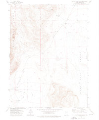
The Pine Forest Range dominates this portion of Humboldt County, defining a landscape of high summits and deeply incised canyons. At the base of the mountains, Leonard Creek Ranch serves as a primary point of activity, supported by a nearby Gaging Station and a Landing Strip on the alluvial fan of Leonard Creek. The high country is punctuated by landmarks such as Bishop Peak and Sentinel Peak, where water management for ranching and mining is evident through features like the Sentinel Peak Reservoir and Plateau Reservoir.
Find a feature on this map
26 named features on this map. Tap any name to fly to it.
Don’t see what you’re looking for? This feature index may not catch every label — zoom into the map to look around manually.
Map Details
Editions of this 1990 Bishop Peak Map
This is the sole edition of this map. No revisions or reprints were ever made.
Other maps of this area

1886 · Disaster
USGS Topo · 1:250,000

1893 · Disaster
USGS Topo · 1:250,000

1954 · Vya
USGS Topo · 1:250,000

1958 · Vya
USGS Topo · 1:250,000

1962 · Vya
USGS Topo · 1:250,000

1965 · Idaho Canyon
USGS Topo · 1:62,500

1965 · Duffer Peak
USGS Topo · 1:62,500

1972 · Deer Creek Slough
USGS Topo · 1:24,000

1972 · Leonard Cr. Slough North
USGS Topo · 1:24,000
1972 · Battle Creek Ranch
USGS Topo · 1:24,000