
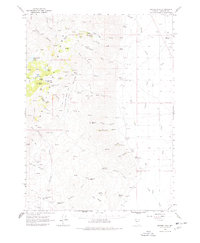
1965 Map of Duffer Peak
USGS Topo · Published 1968About this map
Duffer Peak dominates the northern reaches of this high-desert landscape in Humboldt County, where numerous springs and creeks descend from the Pueblo Mountains into the surrounding basins. The map illustrates a ranching and mining economy centered on isolated outposts like the Woodward Ranch and the Leonard Creek Ranch. At the Dyke location, a local cemetery and Dyke Hot Springs suggest a more active past settlement than the ruins implied by the label.
Find a feature on this map
68 named features on this map. Tap any name to fly to it.
Don’t see what you’re looking for? This feature index may not catch every label — zoom into the map to look around manually.
Map Details
Editions of this 1965 Duffer Peak Map
2 editions found
Other maps of this area

1886 · Disaster
USGS Topo · 1:250,000

1893 · Disaster
USGS Topo · 1:250,000

1954 · Vya
USGS Topo · 1:250,000

1958 · Vya
USGS Topo · 1:250,000

1961 · Quinn River Crossing
USGS Topo · 1:62,500

1961 · Trident Peak
USGS Topo · 1:62,500

1961 · Bottle Creek
USGS Topo · 1:62,500

1962 · Vya
USGS Topo · 1:250,000

1965 · Railroad Point
USGS Topo · 1:62,500

1965 · Idaho Canyon
USGS Topo · 1:62,500