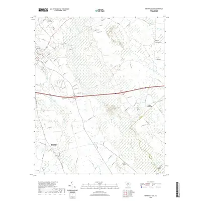
2020 Map of Bishopville East
USGS Topo · Published 2020About this map
The Lee County Courthouse serves as the focal point for the city of Bishopville, surrounded by a landscape where agriculture and water define the layout. To the northeast, the Little Lynches River and its accompanying wetlands dominate the terrain, while the Lynches River marks the eastern boundary near Kiffs Crossroads. The map reveals a network of rural settlements like Wisacky and Alcot, often situated at key intersections such as McCutchens Crossroads.
Find a feature on this map
109 named features on this map. Tap any name to fly to it.
Don’t see what you’re looking for? This feature index may not catch every label — zoom into the map to look around manually.
Map Details
Editions of this 2020 Bishopville East Map
This is the sole edition of this map. No revisions or reprints were ever made.
Other maps of this area

1941 · Spartanburg
USGS Topo · 1:250,000

1953 · Spartanburg
USGS Topo · 1:250,000

1957 · Ashwood
USGS Topo · 1:62,500

1960 · Spartanburg
USGS Topo · 1:250,000

1963 · Spartanburg
USGS Topo · 1:250,000

1964 · Spartanburg
USGS Topo · 1:250,000

1968 · Kellytown
USGS Topo · 1:24,000
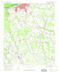
1968 · Hartsville South
USGS Topo · 1:24,000
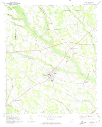
1969 · Lamar
USGS Topo · 1:24,000
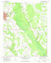
1969 · Bishopville East
USGS Topo · 1:24,000