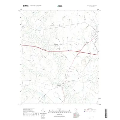
2020 Map of Bishopville West
USGS Topo · Published 2020About this map
Bishopville anchors the northeastern corner of this landscape, where the residential grid gives way to the wetlands of Lee County. The hydrology is dominated by the sprawling Scape Ore Swamp and its tributaries, including Gum Springs Br and Gin Br, which dictate the placement of rural roads and small clusters of settlement. Smaller communities like Browntown and Manville are situated on higher ground between these watercourses, while Hammetts Crossroads and Carters Crossing mark historically significant junctions in the local transport network. For genealogists, the map is a primary record of family-named burial grounds, including Whilden Cem, McLellan Cem, and Pate Cem. The contrast between the organized streets of the town and the meandering paths of Meadow Br and Beaverdam Cr illustrates the long-standing relationship between South Carolina's agriculture and its riverine geography.
Find a feature on this map
105 named features on this map. Tap any name to fly to it.
Don’t see what you’re looking for? This feature index may not catch every label — zoom into the map to look around manually.
Map Details
Editions of this 2020 Bishopville West Map
This is the sole edition of this map. No revisions or reprints were ever made.
Other maps of this area

1941 · Spartanburg
USGS Topo · 1:250,000

1953 · Spartanburg
USGS Topo · 1:250,000

1957 · Ashwood
USGS Topo · 1:62,500

1960 · Spartanburg
USGS Topo · 1:250,000

1963 · Spartanburg
USGS Topo · 1:250,000

1964 · Spartanburg
USGS Topo · 1:250,000

1968 · Kellytown
USGS Topo · 1:24,000
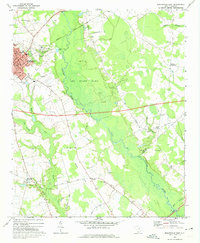
1969 · Bishopville East
USGS Topo · 1:24,000
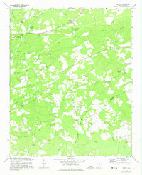
1970 · Cassatt
USGS Topo · 1:24,000
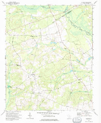
1970 · Lucknow
USGS Topo · 1:24,000