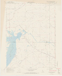
1967 Map of Black Butte Dam
USGS Topo · Published 1968About this map
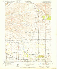
Stony Creek Irrigation Canal and the Lemon Home Colony Canal define the agricultural water management of this landscape straddling the Tehama and Glenn County line. The centerpiece of the area is the expansive Black Butte Reservoir, created by the Black Butte Dam. This infrastructure transformed the local terrain, submerging parts of the valley floor while creating new recreational opportunities at sites like Eagle Pass Recreation Area and Buckhorn Recreation Area.
Find a feature on this map
41 named features on this map. Tap any name to fly to it.
Don’t see what you’re looking for? This feature index may not catch every label — zoom into the map to look around manually.
Map Details
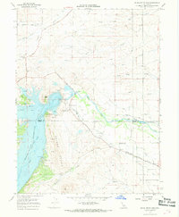
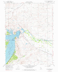
Editions of this 1967 Black Butte Dam Map
3 editions found
Other maps of this area

1904 · Vina
USGS Topo · 1:62,500

1904 · Walker Creek
USGS Topo · 1:31,680

1906 · Willows
USGS Topo · 1:62,500

1914 · Kirkwood
USGS Topo · 1:31,680

1914 · Orland
USGS Topo · 1:31,680

1919 · Fruto
USGS Topo · 1:62,500

1944 · Fruto
USGS Topo · 1:62,500

1944 · Flournoy
USGS Topo · 1:62,500
1949 · Kirkwood
USGS Topo · 1:24,000
1950 · Kirkwood
USGS Topo · 1:24,000