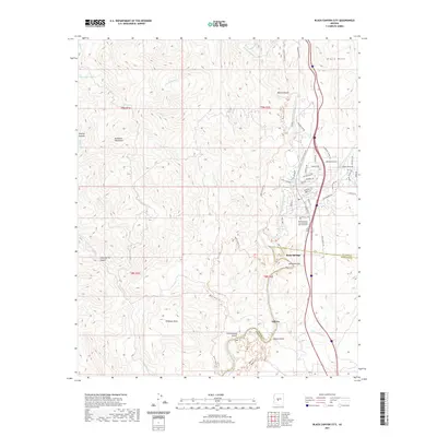
2021 Map of Black Canyon City
USGS Topo · Published 2021About this map
Black Canyon and the Agua Fria River anchor this modern landscape at the boundary between Yavapai and Maricopa counties. The settlement pattern of Black Canyon and Rock Springs is defined by the valley floor, where residential streets like Saguaro Dr and Scenic Loop transition into the steep terrain of Black Mesa and the eastern fringes of the Bradshaw Mountains.
Find a feature on this map
62 named features on this map. Tap any name to fly to it.
Don’t see what you’re looking for? This feature index may not catch every label — zoom into the map to look around manually.
Map Details
Editions of this 2021 Black Canyon City Map
This is the sole edition of this map. No revisions or reprints were ever made.
Other maps of this area

1887 · Prescott
USGS Topo · 1:250,000

1892 · Prescott
USGS Topo · 1:250,000

1903 · Bradshaw Mountains
USGS Topo · 1:125,000

1947 · Crown King
USGS Topo · 1:62,500

1947 · Bumblebee
USGS Topo · 1:62,500

1948 · Bumblebee
USGS Topo · 1:63,360

1948 · Crown King
USGS Topo · 1:63,360

1950 · Crown King
USGS Topo · 1:62,500

1950 · Bumblebee
USGS Topo · 1:62,500

1950 · Prescott
USGS Topo · 1:250,000