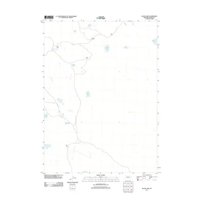
2011 Map of Black Lake
USGS Topo · Published 2011About this map
The High Plains of Garden County are defined by a network of ranching homesteads and alkaline basins in this 2011 survey. The landscape is characterized by scattered ranching operations, including the Adams Ranch, Half Circle Ranch, and Black Ranch, which are situated near various isolated bodies of water. These basins, such as Wild Horse Lake and Rockford Lake, provide essential water sources in an otherwise arid environment.
Find a feature on this map
16 named features on this map. Tap any name to fly to it.
Don’t see what you’re looking for? This feature index may not catch every label — zoom into the map to look around manually.
Map Details
Editions of this 2011 Black Lake Map
This is the sole edition of this map. No revisions or reprints were ever made.
Other maps of this area

1948 · Bingham
USGS Topo · 1:62,500

1948 · Lakeside
USGS Topo · 1:62,500

1949 · Mumper
USGS Topo · 1:62,500

1950 · Longfellow Lake
USGS Topo · 1:62,500

1950 · Lakeside
USGS Topo · 1:62,500

1950 · Bingham
USGS Topo · 1:62,500

1954 · Scottsbluff
USGS Topo · 1:250,000

1955 · Alliance
USGS Topo · 1:250,000

1957 · Alliance
USGS Topo · 1:250,000

1958 · Alliance
USGS Topo · 1:250,000