Loading...
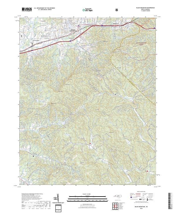
Loading map...2022 Map of Black Mountain
USGS Topo · Published 2022About this map
The Swannanoa River corridor anchors the settlement of Black Mountain and Ridgecrest along a vital mountain transit route. This modern survey shows the intricate relationship between the urban core at Lake Tomahawk and the surrounding wilderness of the Pisgah National Forest. The presence of the Montreat College Black Mountain Campus and the Western Carolina State Veterans Cem highlights the area's role as a center for education and civic memory.
Find a feature on this map
82 named features on this map. Tap any name to fly to it.
Don’t see what you’re looking for? This feature index may not catch every label — zoom into the map to look around manually.
Map Details
Date Portrayed2022
Date Published2022
PublisherU.S. Geological Survey
Map TypeTopographic
Scale1:24000
Physical Dimensions24 x 29 inches
Editions of this 2022 Black Mountain Map
This is the sole edition of this map. No revisions or reprints were ever made.
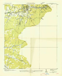
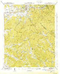
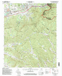
Historical Maps of Fairview Through Time
5 maps found

Featured Locations
Source Details
SourceU.S. Geological Survey
CopyrightPublic Domain