
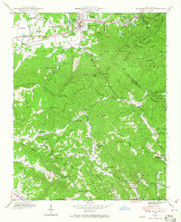
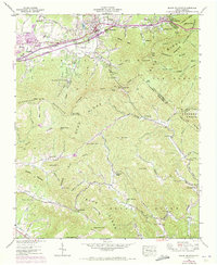
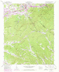
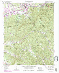
1941 Map of Black Mountain
USGS Topo · Published 1989About this map
Black Mountain and Ridgecrest anchor this survey of the Blue Ridge terrain where the Southern railroad line pierces the continental divide through the Swannanoa Tunnel. The topography is defined by the sharp transition from the Swannanoa Mountains in the west to the headwaters of the Catawba River and Broad River in the east. Social and institutional land use is prominent across the valley floor, featuring the Fellowship Sanatorium, the State Hospital, and the Mountain Orphanage Juvenile Evaluation Center. The landscape's spiritual and recreational history is reflected in numerous sites such as Ourleys Chapel, Tabernacle Ch, and the sprawling Blue Ridge YMCA Camp. Moving south into the Pisgah National Forest, the map reveals a network of high-elevation gaps and knobs, including Lakey Gap and the High Windy Lookout Tower, overseeing the remote drainages of Cane Creek and Flat Creek.
Find a feature on this map
88 named features on this map. Tap any name to fly to it.
Don’t see what you’re looking for? This feature index may not catch every label — zoom into the map to look around manually.
Map Details
Editions of this 1941 Black Mountain Map
6 editions found
Other maps of this area

1900 · Mount Mitchell
USGS Topo · 1:125,000

1902 · Mount Mitchell
USGS Topo · 1:125,000

1907 · Saluda
USGS Topo · 1:125,000

1934 · Parts Of Old Fort and Montreat
USGS Topo · 1:24,000

1935 · Montreat
USGS Topo · 1:24,000

1935 · Batcave
USGS Topo · 1:24,000

1935 · Black Mountain
USGS Topo · 1:24,000

1935 · Craggy Pinnacle
USGS Topo · 1:24,000

1936 · Fruitland
USGS Topo · 1:24,000

1941 · Black Mountain
USGS Topo · 1:24,000