
1941 Map of Black Mountain
USGS Topo · Published 1957About this map
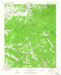
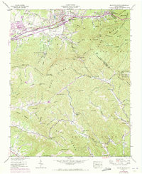
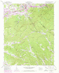
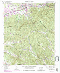
The Tennessee Valley Divide snakes through this high-elevation terrain where the Blue Ridge Mountains meet the Black Mountains. The Southern Railway and primary roads follow the Swannanoa River through the Swannanoa Gap, anchoring the development of Black Mountain and Ridgecrest. This landscape is defined by institutional land use at the start of the 1940s, featuring the State Hospital, Mountain Orphanage, and the Fellowship Sanatorium. To the north, the religious and educational retreats of Montreat and the Blue Ridge YMCA Camp are established in the coves. The rugged topography is dotted with local landmarks like the High Windy Lookout Tower and remote mountain churches including Elizabeth Chapel and Wilkey Ch, providing a detailed view of these high-country communities before mid-century expansion.
Find a feature on this map
95 named features on this map. Tap any name to fly to it.
Don’t see what you’re looking for? This feature index may not catch every label — zoom into the map to look around manually.
Map Details
Editions of this 1941 Black Mountain Map
6 editions found

Other maps of this area

1900 · Mount Mitchell
USGS Topo · 1:125,000

1902 · Mount Mitchell
USGS Topo · 1:125,000

1907 · Saluda
USGS Topo · 1:125,000

1934 · Parts Of Old Fort and Montreat
USGS Topo · 1:24,000

1935 · Montreat
USGS Topo · 1:24,000

1935 · Batcave
USGS Topo · 1:24,000

1935 · Black Mountain
USGS Topo · 1:24,000

1935 · Craggy Pinnacle
USGS Topo · 1:24,000

1936 · Fruitland
USGS Topo · 1:24,000

1942 · Fruitland
USGS Topo · 1:24,000