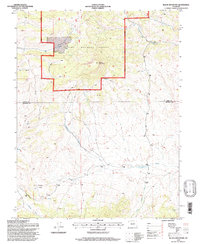
1994 Map of Black Mountain
USGS Topo · Published 1997About this map
Black Mountain rises as the central prominence in this portion of the Pike National Forest, defining a high-altitude landscape where the boundary between Park and Fremont counties meets. The drainage patterns shown here are particularly intricate, with Thirtyone Mile Creek and Paris Creek flowing through the northern reaches, while Cottonwood Creek and Waugh Creek dominate the southern slopes.
Find a feature on this map
16 named features on this map. Tap any name to fly to it.
Don’t see what you’re looking for? This feature index may not catch every label — zoom into the map to look around manually.
Map Details
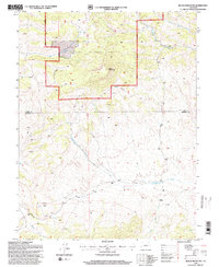
Editions of this 1994 Black Mountain Map
2 editions found
Other maps of this area

1954 · Pueblo
USGS Topo · 1:250,000

1956 · Cameron Mountain
USGS Topo · 1:62,500

1957 · Pueblo
USGS Topo · 1:250,000

1958 · Pueblo
USGS Topo · 1:250,000

1959 · Antero Reservoir
USGS Topo · 1:62,500

1959 · Black Mountain
USGS Topo · 1:62,500

1959 · Guffey
USGS Topo · 1:62,500

1962 · Pueblo
USGS Topo · 1:250,000

1966 · Pueblo
USGS Topo · 1:250,000
1983 · Jack Hall Mountain
USGS Topo · 1:24,000