
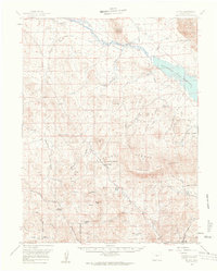
1959 Map of Guffey
USGS Topo · Published 1961About this map
Guffey and the surrounding high-altitude ranching landscape of Park County are captured here in the late 1950s, centered on a network of family holdings and cattle operations. The map documents numerous established sites like the Hartsel Ranch and the Pabst-Howe Ranch, alongside more isolated outposts like Shimmins Camp and Fehlings Cow Camp. The terrain is defined by the headwaters of the South Platte River and its tributaries, including Currant Creek and Threemile Creek, which cut through the mountain passes of the Pike National Forest.
Find a feature on this map
38 named features on this map. Tap any name to fly to it.
Don’t see what you’re looking for? This feature index may not catch every label — zoom into the map to look around manually.
Map Details
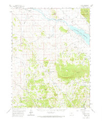
Editions of this 1959 Guffey Map
3 editions found
Other maps of this area

1893 · Platte Canyon
USGS Topo · 1:125,000

1894 · Pikes Peak
USGS Topo · 1:125,000

1901 · Pikes Peak
USGS Topo · 1:125,000

1942 · Cover Mtn.
USGS Topo · 1:62,500

1948 · Cover Mtn.
USGS Topo · 1:62,500

1953 · Denver
USGS Topo · 1:250,000

1954 · Pueblo
USGS Topo · 1:250,000

1956 · Tarryall
USGS Topo · 1:24,000

1956 · Sulphur Mountain
USGS Topo · 1:24,000

1956 · Elevenmile Canyon
USGS Topo · 1:24,000