
1956 Map of Sulphur Mountain
USGS Topo · Published 1957About this map
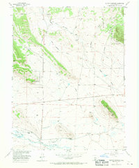
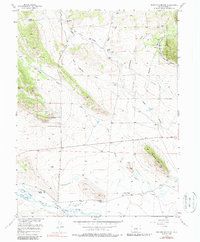
Sulphur Mountain dominates the eastern horizon of this mid-century Colorado landscape, rising above a network of ranchlands and irrigation systems. The high-altitude terrain is defined by the confluence of the Middle Fork and South Fork of the South Platte River, where a complex water management system is visible through features like the Harrington Ditch, Western Ditch, and Central Ditch. This era shows the valley before significant modernization, capturing historic cattle operations such as Buckley Ranch, Spinney Ranch, and Harrington Ranch along the riverbanks.
Find a feature on this map
27 named features on this map. Tap any name to fly to it.
Don’t see what you’re looking for? This feature index may not catch every label — zoom into the map to look around manually.
Map Details
Editions of this 1956 Sulphur Mountain Map
3 editions found
Other maps of this area

1953 · Denver
USGS Topo · 1:250,000

1954 · Pueblo
USGS Topo · 1:250,000

1956 · Eagle Rock
USGS Topo · 1:24,000

1956 · Elkhorn
USGS Topo · 1:24,000

1956 · Farnum Peak
USGS Topo · 1:24,000

1956 · Antero Reservoir NE
USGS Topo · 1:24,000

1956 · Hartsel
USGS Topo · 1:24,000

1956 · Guffey NW
USGS Topo · 1:24,000

1956 · Glentivar
USGS Topo · 1:24,000

1956 · Spinney Mountain
USGS Topo · 1:24,000