
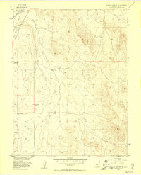
1956 Map of Antero Reservoir NE
USGS Topo · Published 1957About this map
Agate Creek and the South Platte River define the drainage patterns of this high-altitude Park County landscape, captured during the mid-1950s as part of the Missouri River Basin development program. The map documents a fading human footprint, with several established homesteads specifically noted as no longer active. Settlements like Weber Ranch (Aband), Jamestown Ranch (Aband), and Oakley Ranch (Aband) sit alongside an Abandoned Ditch, suggesting a shift in local water usage and land management. The presence of the Pleasant Valley Sch (Aband) further underscores the decline of this rural ranching community, while the Old Railroad Grade and active Poyner Ranch provide clues to the region's transport history and surviving agricultural operations near Antelope Spring.
Find a feature on this map
10 named features on this map. Tap any name to fly to it.
Don’t see what you’re looking for? This feature index may not catch every label — zoom into the map to look around manually.
Map Details
Editions of this 1956 Antero Reservoir NE Map
5 editions found
Other maps of this area

1953 · Denver
USGS Topo · 1:250,000

1954 · Pueblo
USGS Topo · 1:250,000

1956 · Sulphur Mountain
USGS Topo · 1:24,000

1956 · Garo
USGS Topo · 1:24,000

1956 · Antero Reservoir
USGS Topo · 1:24,000

1956 · Hartsel
USGS Topo · 1:24,000

1956 · Guffey NW
USGS Topo · 1:24,000

1957 · Denver
USGS Topo · 1:250,000

1957 · Pueblo
USGS Topo · 1:250,000

1958 · Pueblo
USGS Topo · 1:250,000