
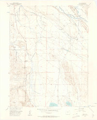
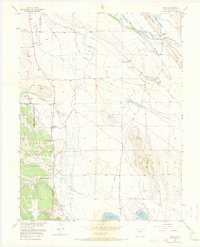
1956 Map of Garo
USGS Topo · Published 1957About this map
Garo serves as the focal point of this mid-century survey, situated near the confluence of the Middle Fork South Platte River and High Creek. The landscape is defined by an extensive network of irrigation ditches, including the Miller Ditch, Stephens Ditch, and Antero Feeder Ditch, which support several established ranching operations like the McDowell Ranch and Fourmile Ranch (Abel's). These water systems illustrate the intensive management of high-altitude ranchland in the 1950s.
Find a feature on this map
41 named features on this map. Tap any name to fly to it.
Don’t see what you’re looking for? This feature index may not catch every label — zoom into the map to look around manually.
Map Details
Editions of this 1956 Garo Map
3 editions found
Other maps of this area

1889 · Leadville
USGS Topo · 1:125,000

1891 · Leadville
USGS Topo · 1:125,000

1942 · Leadville
USGS Topo · 1:125,000

1953 · Denver
USGS Topo · 1:250,000

1954 · Pueblo
USGS Topo · 1:250,000

1955 · Buena Vista
USGS Topo · 1:62,500

1956 · Elkhorn
USGS Topo · 1:24,000

1956 · Antero Reservoir
USGS Topo · 1:24,000

1956 · Antero Reservoir NE
USGS Topo · 1:24,000

1956 · Fairplay East
USGS Topo · 1:24,000