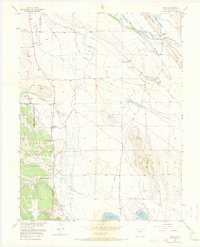
1956 Map of Garo
USGS Topo · Published 1973About this map
Middle Fork South Platte River and its southern counterpart dominate this landscape in Colorado's high parkland, where an intricate network of irrigation ditches supported a robust ranching economy in the mid-1950s. The settlement of Garo serves as a central point, surrounded by historic holdings like the McDowell Ranch and Cargill Ranch. Local infrastructure is anchored by the Buffalo Springs Sch and a nearby Cem, while an Old Railroad Grade traces a path through the northern meadows. The southern portion of the map is largely defined by the Antero Reservoir, while the western edge reaches into the Pike National Forest along Deadman Gulch. This survey reveals the transition of the land as former homesteads, such as the Fourmile Ranch (Aband), gave way to larger operations and water management systems like the Guraud Ditch and Elisha Alden Ditch.
Find a feature on this map
40 named features on this map. Tap any name to fly to it.
Don’t see what you’re looking for? This feature index may not catch every label — zoom into the map to look around manually.
Map Details
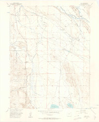
Editions of this 1956 Garo Map
3 editions found
Other maps of this area

1889 · Leadville
USGS Topo · 1:125,000

1891 · Leadville
USGS Topo · 1:125,000

1942 · Leadville
USGS Topo · 1:125,000

1953 · Denver
USGS Topo · 1:250,000

1954 · Pueblo
USGS Topo · 1:250,000

1955 · Buena Vista
USGS Topo · 1:62,500

1956 · Elkhorn
USGS Topo · 1:24,000

1956 · Garo
USGS Topo · 1:24,000

1956 · Antero Reservoir
USGS Topo · 1:24,000

1956 · Antero Reservoir NE
USGS Topo · 1:24,000