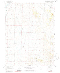
1956 Map of Antero Reservoir NE
USGS Topo · Published 1986About this map
The South Fork Platte River winds through this high-altitude Park County landscape, which by the mid-1950s reflected a ranching economy established along historic transportation corridors. The corridor of the Old Railroad Grade follows the river, serving as a reminder of earlier rail connections that once supported this part of the Missouri River Basin. Isolated family holdings such as Weber Ranch, Jamestown Ranch, and Oakley Ranch are scattered across the terrain, indicating a pattern of spread-out rural life. Public infrastructure appears in transition, evidenced by the Pleasant Valley Sch (Aband) and an Abandoned Ditch near Agate Creek. The map provides a detailed view of the water resources essential for livestock, including Antelope Spring and various unnamed springs that sustain the surrounding pastures.
Find a feature on this map
13 named features on this map. Tap any name to fly to it.
Don’t see what you’re looking for? This feature index may not catch every label — zoom into the map to look around manually.
Map Details
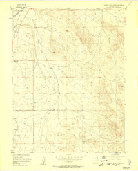
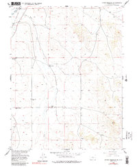
Editions of this 1956 Antero Reservoir NE Map
5 editions found
Other maps of this area

1953 · Denver
USGS Topo · 1:250,000

1954 · Pueblo
USGS Topo · 1:250,000

1956 · Sulphur Mountain
USGS Topo · 1:24,000

1956 · Garo
USGS Topo · 1:24,000

1956 · Antero Reservoir
USGS Topo · 1:24,000

1956 · Antero Reservoir NE
USGS Topo · 1:24,000

1956 · Hartsel
USGS Topo · 1:24,000

1956 · Guffey NW
USGS Topo · 1:24,000

1957 · Denver
USGS Topo · 1:250,000

1957 · Pueblo
USGS Topo · 1:250,000