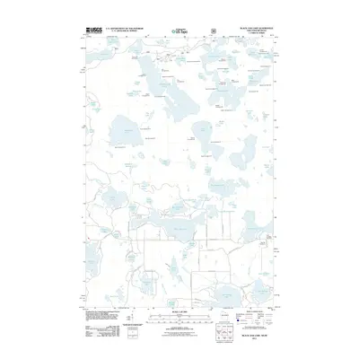
2011 Map of Black Oak Lake
USGS Topo · Published 2011About this map
Black Oak Lake and dozens of surrounding glacial basins dominate this northern borderland near the Michigan state line. The landscape is defined by an intricate network of water bodies and recreational infrastructure, notably the dense concentration of campgrounds such as Ash Campground, Pike Campground, and Wolf Campground surrounding the deeper lakes. This 2011 survey reveals a modern layout of forest roads and county highways that serve the recreational and residential needs of the Land O' Lakes community.
Find a feature on this map
104 named features on this map. Tap any name to fly to it.
Don’t see what you’re looking for? This feature index may not catch every label — zoom into the map to look around manually.
Map Details
Editions of this 2011 Black Oak Lake Map
This is the sole edition of this map. No revisions or reprints were ever made.
Other maps of this area

1938 · Phelps
USGS Topo · 1:48,000

1946 · Star Lake
USGS Topo · 1:48,000

1950 · Phelps
USGS Topo · 1:48,000

1950 · Star Lake
USGS Topo · 1:48,000

1952 · Watersmeet
USGS Topo · 1:62,500

1952 · Thayer
USGS Topo · 1:62,500

1955 · Starlake
USGS Topo · 1:62,500

1956 · Phelps
USGS Topo · 1:62,500

1958 · Iron River
USGS Topo · 1:250,000

1960 · Iron River
USGS Topo · 1:250,000