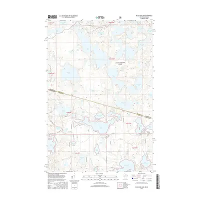
2015 Map of Black Oak Lake
USGS Topo · Published 2015About this map
Ottawa National Forest dominates the northern reaches of this borderlands landscape, where the state line between Michigan and Wisconsin cuts through a dense concentration of glacial lakes. The terrain is defined by a complex network of water bodies, including Whitefish Lake, High Lake, and the expansive Black Oak Lake. This survey illustrates the intricate shoreline patterns and the scattered development surrounding these waters, particularly concentrated along County Highway B.
Find a feature on this map
89 named features on this map. Tap any name to fly to it.
Don’t see what you’re looking for? This feature index may not catch every label — zoom into the map to look around manually.
Map Details
Editions of this 2015 Black Oak Lake Map
This is the sole edition of this map. No revisions or reprints were ever made.
Other maps of this area

1938 · Phelps
USGS Topo · 1:48,000

1946 · Star Lake
USGS Topo · 1:48,000

1950 · Phelps
USGS Topo · 1:48,000

1950 · Star Lake
USGS Topo · 1:48,000

1952 · Watersmeet
USGS Topo · 1:62,500

1952 · Thayer
USGS Topo · 1:62,500

1955 · Starlake
USGS Topo · 1:62,500

1956 · Phelps
USGS Topo · 1:62,500

1958 · Iron River
USGS Topo · 1:250,000

1960 · Iron River
USGS Topo · 1:250,000