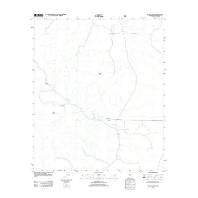
2012 Map of Black Point
USGS Topo · Published 2012About this map
Cloverdale serves as the focal point of this arid landscape in the early twenty-first century, positioned along the intermittent course of Cloverdale Cr. The map documents a territory defined by ranching heritage, where named properties like Eicks Ranch, Robertson Ranch, and Pendleton Ranch denote long-standing family operations in this corner of New Mexico. Significant landmarks for local history and genealogy include the Cloverdale Cem and the reliable water source at Cloverdale Spring. The terrain is punctuated by distinctive landforms, most notably the namesake volcanic feature Black Point and the high elevation of Kilmer Peak. Essential infrastructure for this rural environment is represented by artificial water catchments such as Crescent Tank and the historic route of Geronimo Trl, which connects the scattered homesteads through the drainage basins.
Find a feature on this map
15 named features on this map. Tap any name to fly to it.
Don’t see what you’re looking for? This feature index may not catch every label — zoom into the map to look around manually.
Map Details
Editions of this 2012 Black Point Map
This is the sole edition of this map. No revisions or reprints were ever made.
Other maps of this area

1917 · Chiricahua
USGS Topo · 1:125,000

1918 · Cienega Springs
USGS Topo · 1:62,500

1918 · Animas Peak
USGS Topo · 1:62,500

1919 · Perilla
USGS Topo · 1:125,000

1919 · Chiricahua
USGS Topo · 1:125,000

1920 · Animas Peak
USGS Topo · 1:62,500

1922 · McDonald
USGS Topo · 1:62,500

1940 · Apache
USGS Topo · 1:62,500

1955 · Douglas
USGS Topo · 1:250,000

1958 · Apache
USGS Topo · 1:62,500