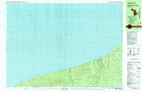
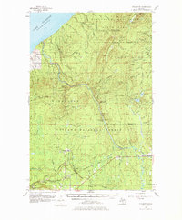
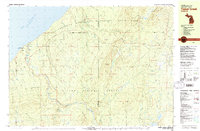
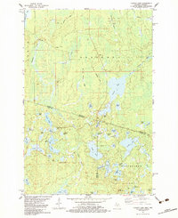
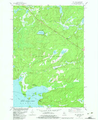
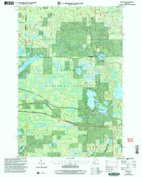
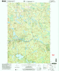
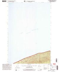
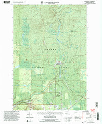
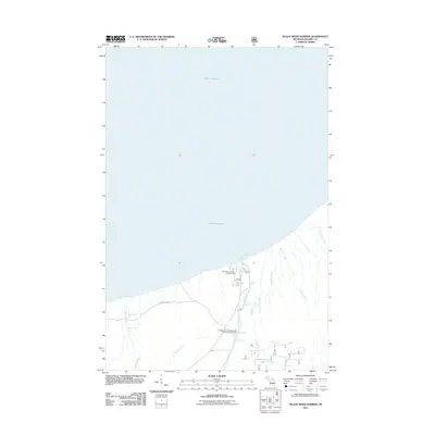
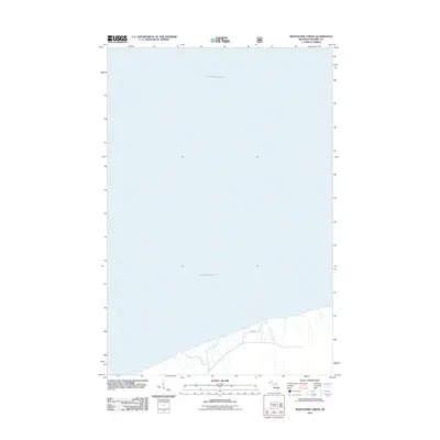
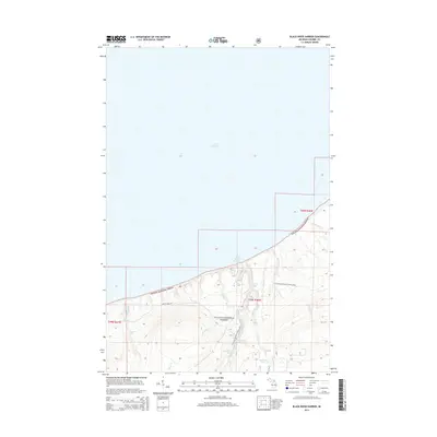
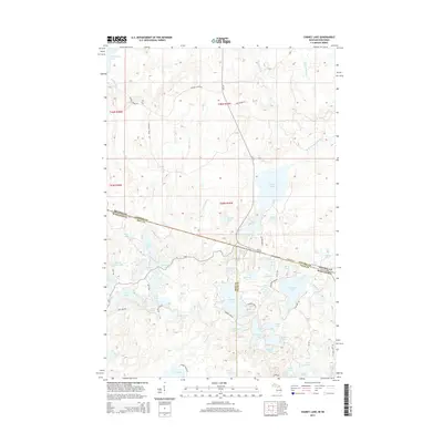
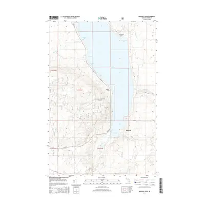
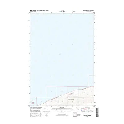
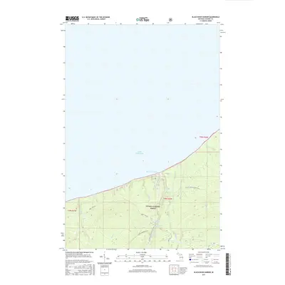
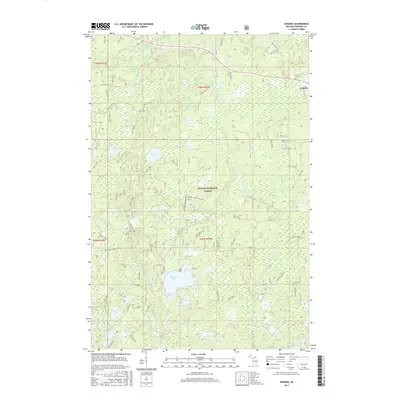
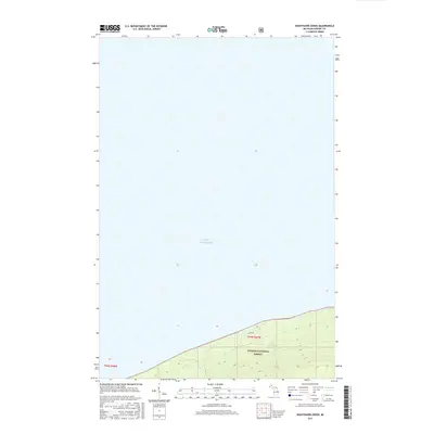
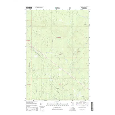
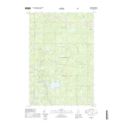
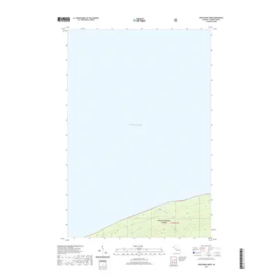
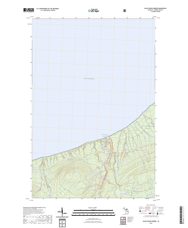
1980 Map of Black River Harbor
USGS Topo · Published 1981About this map
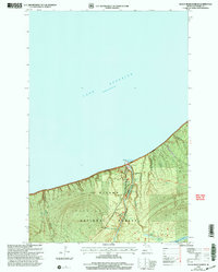
Lake Superior borders the northern edge of this coastal survey, where the Black River meets the harbor in the Ottawa National Forest. This landscape is defined by its dramatic series of water features as the river descends toward the lake, passing over Rainbow Falls, Sandstone Falls, Gorge Falls, and Potawatomi Falls in quick succession. Further upstream, Manabezho Falls and Great Conglomerate Falls mark the river's path through the wooded terrain.
Find a feature on this map
27 named features on this map. Tap any name to fly to it.
Don’t see what you’re looking for? This feature index may not catch every label — zoom into the map to look around manually.
Map Details
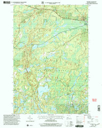
Editions of this 1980 Black River Harbor Map
This is the sole edition of this map. No revisions or reprints were ever made.
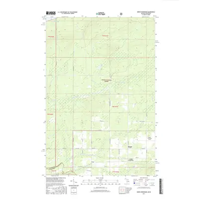
Historical Maps of Ironwood Township Through Time
136 maps found

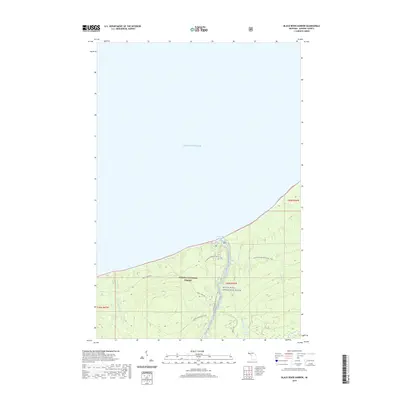
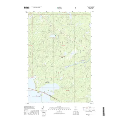
1943 Little Girls Point
Gogebic County, MI
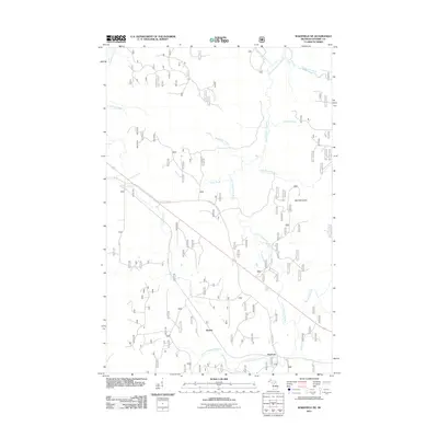
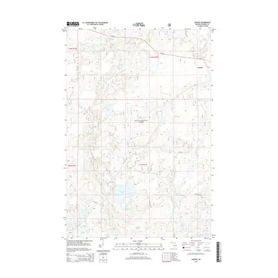
1952 Thayer
Gogebic County, MI
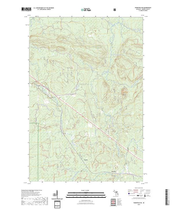
1955 Wakefield NE
Gogebic County, MI
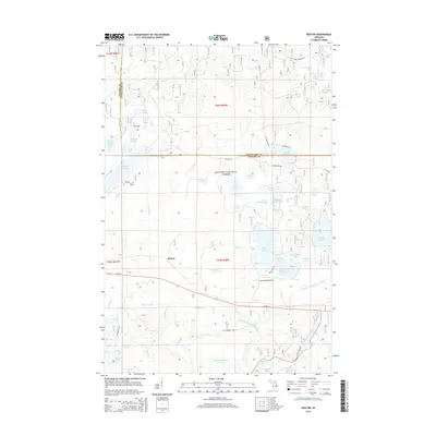
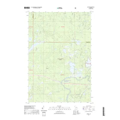
1956 North Ironwood
Gogebic County, MI
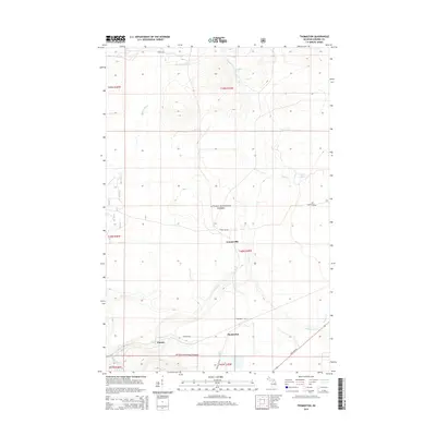
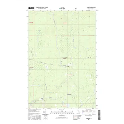
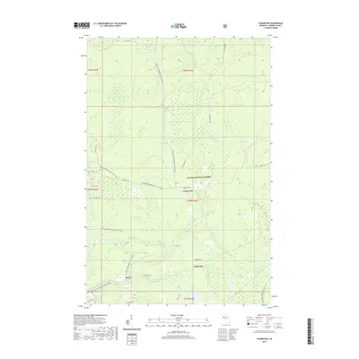
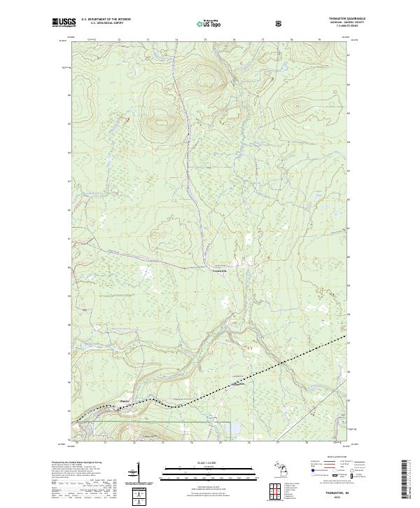
1956 Thomaston
Gogebic County, MI
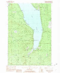
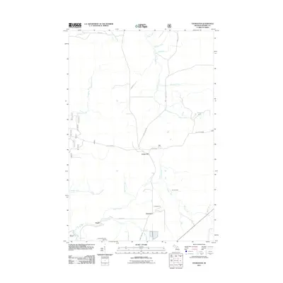
1980 Black River Harbor
Gogebic County, MI

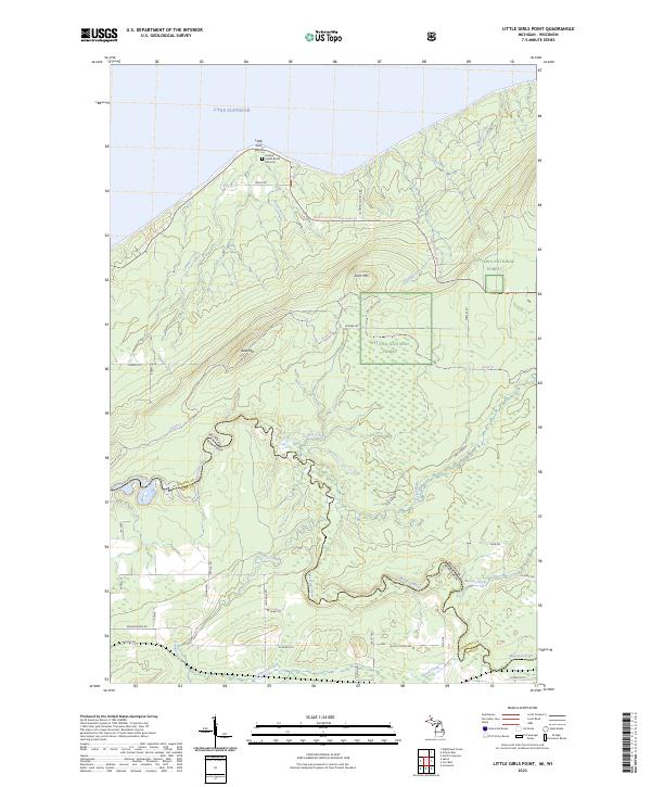
1980 Little Girls Point
Gogebic County, MI
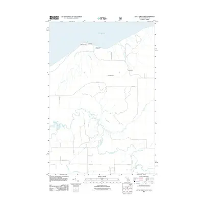
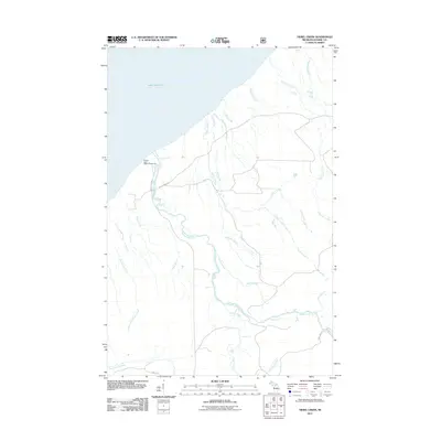
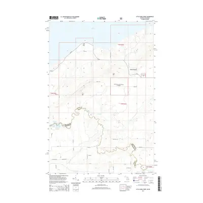
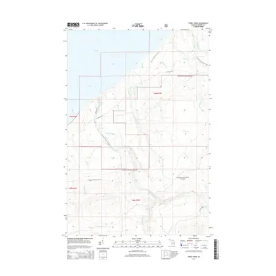
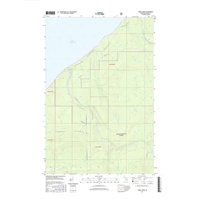
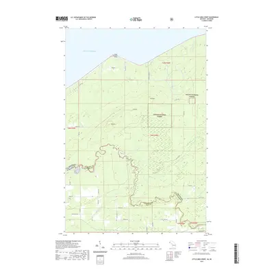
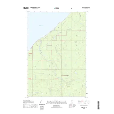
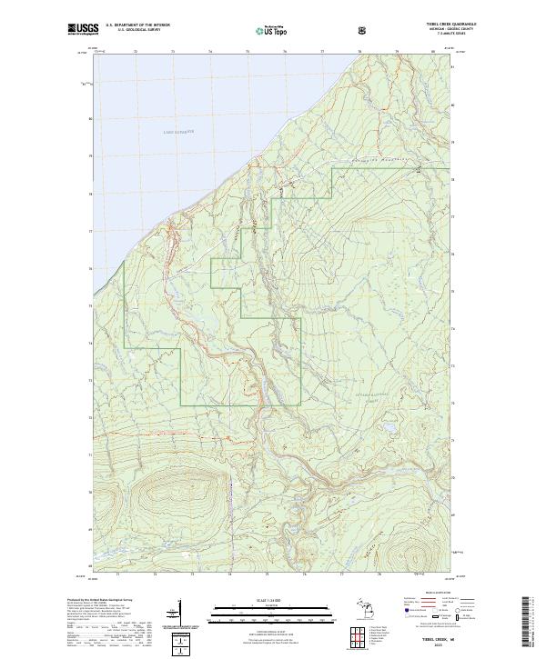
1980 Tiebel Creek
Gogebic County, MI

1981 Thomaston
Gogebic County, MI
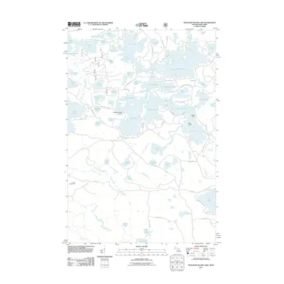
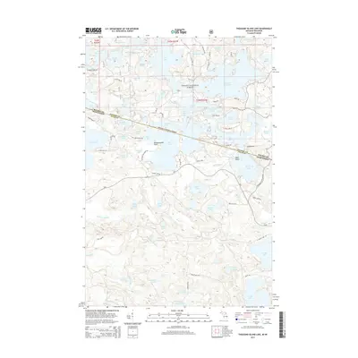
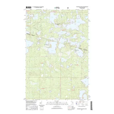
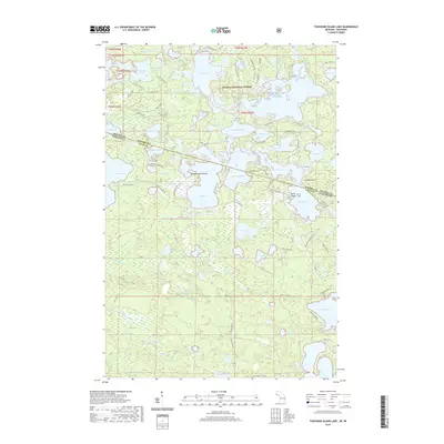
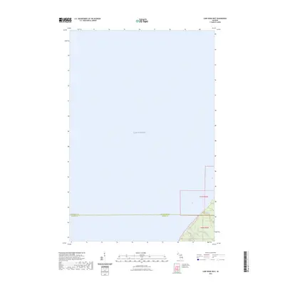
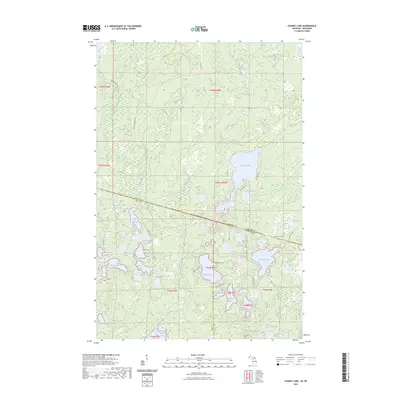
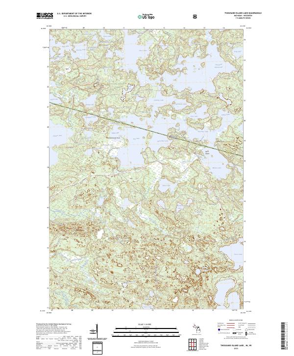
1981 Thousand Island Lake
Gogebic County, MI
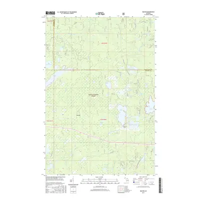
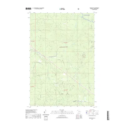
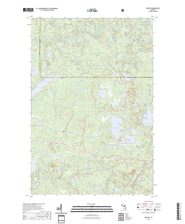
1982 Beaton
Gogebic County, MI
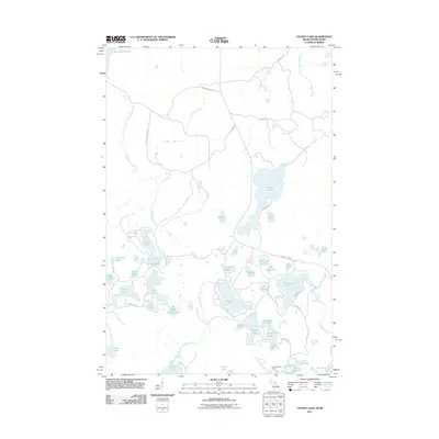
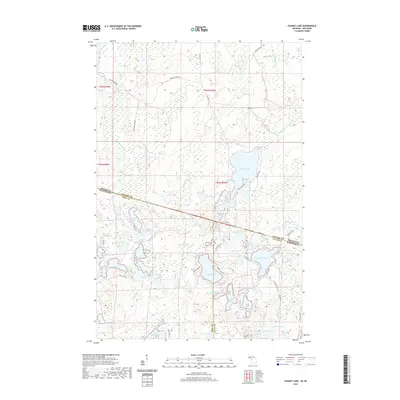
1982 Chaney Lake
Gogebic County, MI
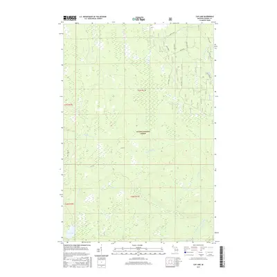
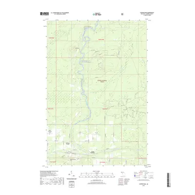
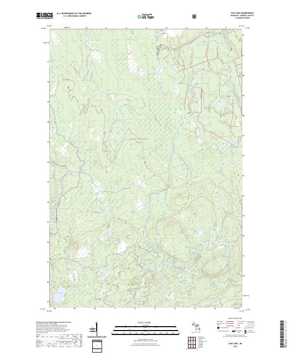
1982 Cup Lake
Gogebic County, MI
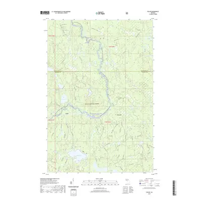
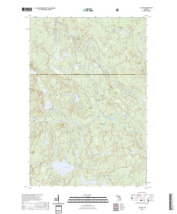
1982 Fuller
Gogebic County, MI
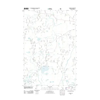
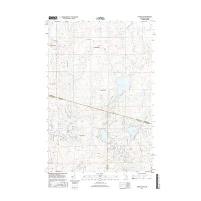
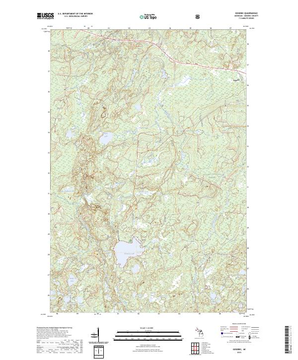
1982 Gogebic
Gogebic County, MI
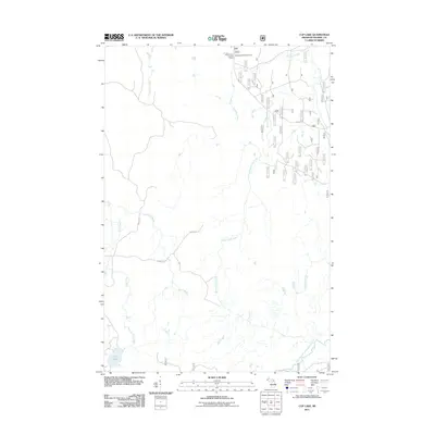
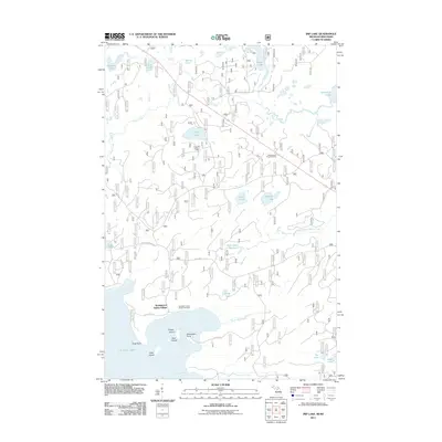
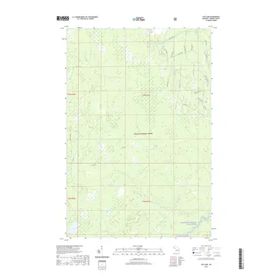
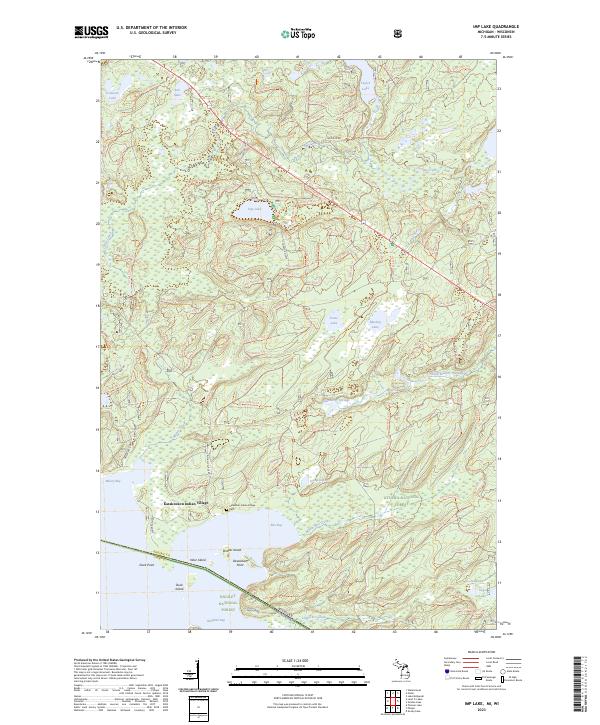
1982 Imp Lake
Gogebic County, MI
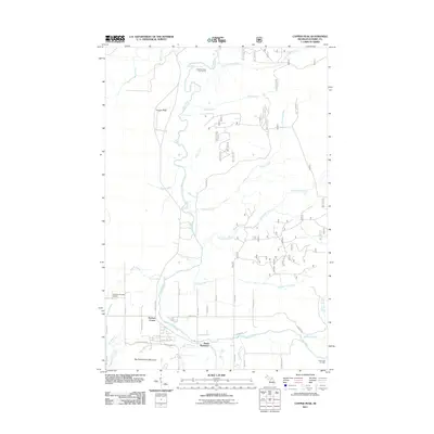
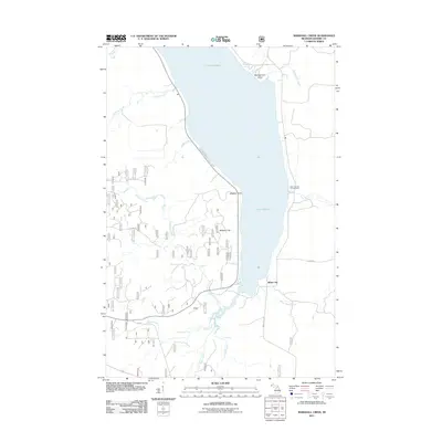
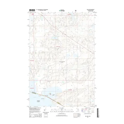
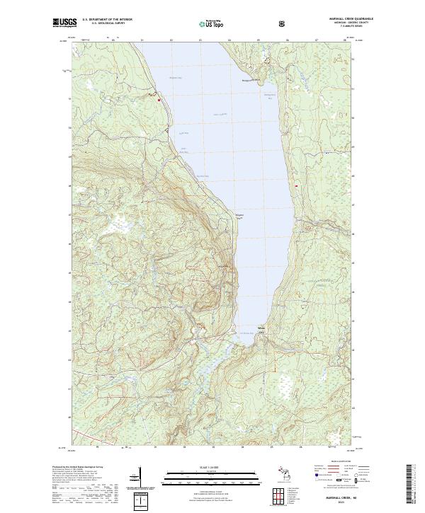
1982 Marshall Creek
Gogebic County, MI
1982 Stateline Lake
Gogebic County, MI
1982 Thayer
Gogebic County, MI
1999 Beaton
Gogebic County, MI
1999 Black River Harbor
Gogebic County, MI
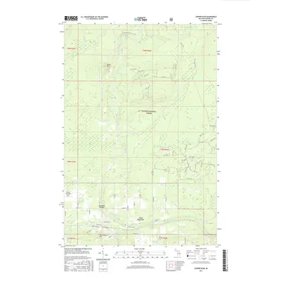
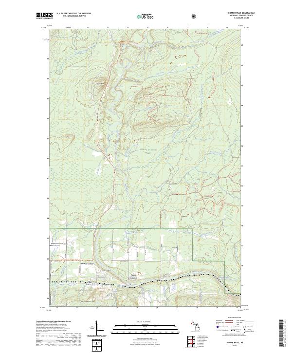
1999 Copper Peak
Gogebic County, MI
1999 Cup Lake
Gogebic County, MI
1999 Fuller
Gogebic County, MI
1999 Gogebic
Gogebic County, MI
1999 Imp Lake
Gogebic County, MI
1999 Marshall Creek
Gogebic County, MI
1999 Nighthawk Creek
Gogebic County, MI
1999 North Ironwood
Gogebic County, MI
1999 Stateline Lake
Gogebic County, MI
1999 Thayer
Gogebic County, MI
1999 Thomaston
Gogebic County, MI
1999 Thousand Island Lake
Gogebic County, MI
1999 Tiebel Creek
Gogebic County, MI
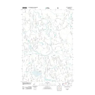
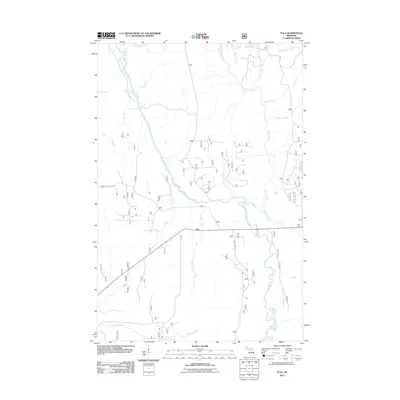
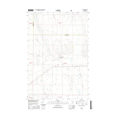
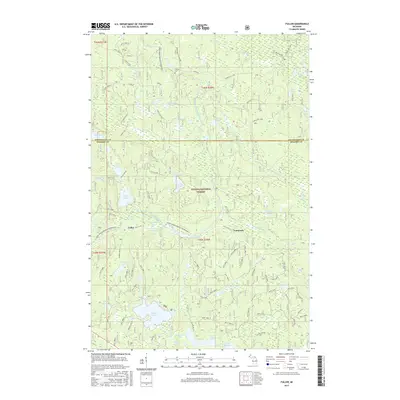
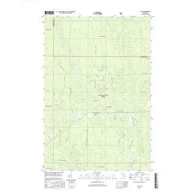
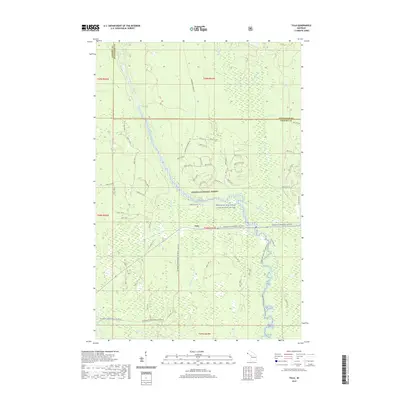
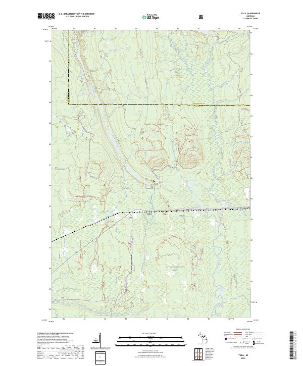
1999 Tula
Gogebic County, MI
1999 Wakefield NE
Gogebic County, MI
2011 Beaton
Gogebic County, MI
2011 Black River Harbor
Gogebic County, MI
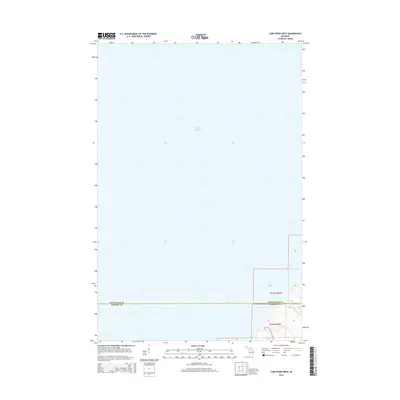
2011 Carp River West
Gogebic County, MI
2011 Chaney Lake
Gogebic County, MI
2011 Copper Peak
Gogebic County, MI
2011 Cup Lake
Gogebic County, MI
2011 Fuller
Gogebic County, MI
2011 Gogebic
Gogebic County, MI
2011 Imp Lake
Gogebic County, MI
2011 Little Girls Point
Gogebic County, MI
2011 Marshall Creek
Gogebic County, MI
2011 Nighthawk Creek
Gogebic County, MI
2011 North Ironwood
Gogebic County, MI
2011 Stateline Lake
Gogebic County, MI
2011 Thayer
Gogebic County, MI
2011 Thomaston
Gogebic County, MI
2011 Thousand Island Lake
Gogebic County, MI
2011 Tiebel Creek
Gogebic County, MI
2011 Tula
Gogebic County, MI
2011 Wakefield NE
Gogebic County, MI
2014 Beaton
Gogebic County, MI
2014 Black River Harbor
Gogebic County, MI
2014 Carp River West
Gogebic County, MI
2014 Chaney Lake
Gogebic County, MI
2014 Copper Peak
Gogebic County, MI
2014 Cup Lake
Gogebic County, MI
2014 Fuller
Gogebic County, MI
2014 Gogebic
Gogebic County, MI
2014 Imp Lake
Gogebic County, MI
2014 Little Girls Point
Gogebic County, MI
2014 Marshall Creek
Gogebic County, MI
2014 Nighthawk Creek
Gogebic County, MI
2014 North Ironwood
Gogebic County, MI
2014 Stateline Lake
Gogebic County, MI
2014 Thayer
Gogebic County, MI
2014 Thomaston
Gogebic County, MI
2014 Thousand Island Lake
Gogebic County, MI
2014 Tiebel Creek
Gogebic County, MI
2014 Tula
Gogebic County, MI
2014 Wakefield NE
Gogebic County, MI
2017 Beaton
Gogebic County, MI
2017 Black River Harbor
Gogebic County, MI
2017 Carp River West
Gogebic County, MI
2017 Chaney Lake
Gogebic County, MI
2017 Copper Peak
Gogebic County, MI
2017 Cup Lake
Gogebic County, MI
2017 Fuller
Gogebic County, MI
2017 Gogebic
Gogebic County, MI
2017 Imp Lake
Gogebic County, MI
2017 Little Girls Point
Gogebic County, MI
2017 Marshall Creek
Gogebic County, MI
2017 Nighthawk Creek
Gogebic County, MI
2017 North Ironwood
Gogebic County, MI
2017 Stateline Lake
Gogebic County, MI
2017 Thayer
Gogebic County, MI
2017 Thomaston
Gogebic County, MI
2017 Thousand Island Lake
Gogebic County, MI
2017 Tiebel Creek
Gogebic County, MI
2017 Tula
Gogebic County, MI
2017 Wakefield NE
Gogebic County, MI
2019 Beaton
Gogebic County, MI
2019 Black River Harbor
Gogebic County, MI
2019 Carp River West
Gogebic County, MI
2019 Chaney Lake
Gogebic County, MI
2019 Copper Peak
Gogebic County, MI
2019 Cup Lake
Gogebic County, MI
2019 Fuller
Gogebic County, MI
2019 Gogebic
Gogebic County, MI
2019 Imp Lake
Gogebic County, MI
2019 Little Girls Point
Gogebic County, MI
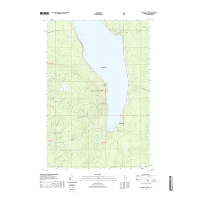
2019 Marshall Creek
Gogebic County, MI
2019 Nighthawk Creek
Gogebic County, MI
2019 North Ironwood
Gogebic County, MI
2019 Stateline Lake
Gogebic County, MI
2019 Thayer
Gogebic County, MI
2019 Thomaston
Gogebic County, MI
2019 Thousand Island Lake
Gogebic County, MI
2019 Tiebel Creek
Gogebic County, MI
2019 Tula
Gogebic County, MI
2019 Wakefield NE
Gogebic County, MI
2023 Beaton
Gogebic County, MI
2023 Black River Harbor
Gogebic County, MI
2023 Carp River West
Gogebic County, MI
2023 Chaney Lake
Gogebic County, MI
2023 Copper Peak
Gogebic County, MI
2023 Cup Lake
Gogebic County, MI
2023 Fuller
Gogebic County, MI
2023 Gogebic
Gogebic County, MI
2023 Imp Lake
Gogebic County, MI
2023 Little Girls Point
Gogebic County, MI
2023 Marshall Creek
Gogebic County, MI
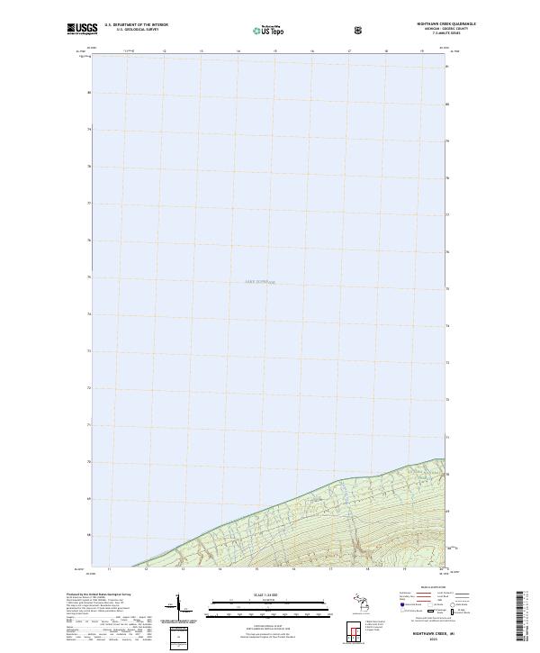
2023 Nighthawk Creek
Gogebic County, MI
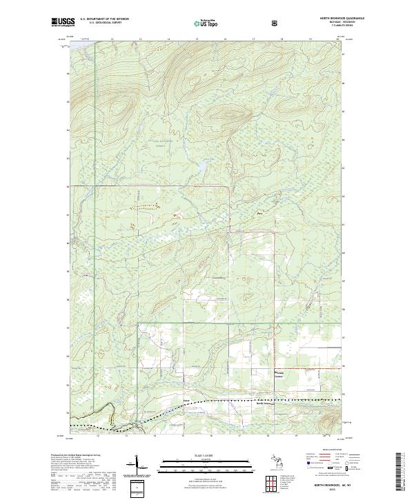
2023 North Ironwood
Gogebic County, MI
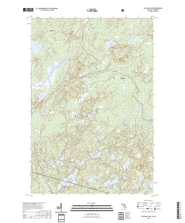
2023 Stateline Lake
Gogebic County, MI
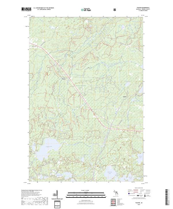
2023 Thayer
Gogebic County, MI
2023 Thomaston
Gogebic County, MI
2023 Thousand Island Lake
Gogebic County, MI
2023 Tiebel Creek
Gogebic County, MI
2023 Tula
Gogebic County, MI
2023 Wakefield NE
Gogebic County, MI