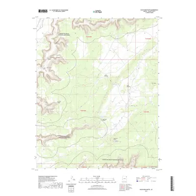
2018 Map of Black Rock Butte
USGS Topo · Published 2018About this map
Canyon De Chelly National Monument defines the western and southern reaches of this landscape, where deep incisions like Sheep Point Canyon and Giant Canyon carve into the high desert floor. The terrain is marked by a series of prominent rises and overlooks, including Sheep Point and the isolated White Butte to the east. The land's character is shaped by the complex drainage systems of the Defiance Plateau, where seasonal water sources such as Bear Spring and Black Rock Spring provided critical resources for the region's inhabitants.
Find a feature on this map
26 named features on this map. Tap any name to fly to it.
Don’t see what you’re looking for? This feature index may not catch every label — zoom into the map to look around manually.
Map Details
Editions of this 2018 Black Rock Butte Map
This is the sole edition of this map. No revisions or reprints were ever made.
Other maps of this area

1892 · Canyon De Chelly
USGS Topo · 1:250,000

1954 · Shiprock
USGS Topo · 1:250,000

1955 · Sonsala Butte 2 SW
USGS Topo · 1:24,000

1955 · Sonsala Butte 4 NW
USGS Topo · 1:24,000

1955 · Sonsala Butte 3 SE
USGS Topo · 1:24,000

1955 · Sonsala Butte 2 SE
USGS Topo · 1:24,000
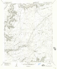
1955 · Sonsala Butte 3 NE
USGS Topo · 1:24,000
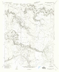
1955 · Sonsala Butte 3 SW
USGS Topo · 1:24,000

1955 · Sonsala Butte 1 SW
USGS Topo · 1:24,000
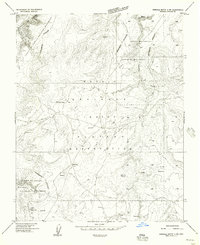
1955 · Sonsala Butte 4 SW
USGS Topo · 1:24,000