
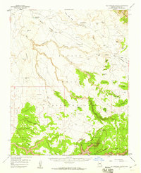
1955 Map of Sonsala Butte 2 SW
USGS Topo · Published 1958About this map
Navajo Indian Reservation lands dominate this mid-century preliminary survey, centered on the high terrain of the Defiance Plateau. The landscape is defined by a network of deeply incised drainage systems, including the dramatic winding courses of Sleepy Canyon and Yellowstone Canyon. Human presence is sparse but historically significant, evidenced by the Cliff Dwelling Ruins located along the southern reaches of the plateau's complex canyon walls. Small settlements and points of interest like Bilasha and Owl Nest are situated near the prominent heights of Black Mesa. The map reflects a 1950s period of transition, where traditional ranching and ancient history are documented alongside modern infrastructure like Tall Tree Mesa and various windmills and dams that sustained the local sheep and cattle economies. Tribal names and topographic features such as Tezin Canyon and Weed Canyon show the integration of the environment into the daily life of the region.
Find a feature on this map
16 named features on this map. Tap any name to fly to it.
Don’t see what you’re looking for? This feature index may not catch every label — zoom into the map to look around manually.
Map Details
Editions of this 1955 Sonsala Butte 2 SW Map
This is the sole edition of this map. No revisions or reprints were ever made.
Other maps of this area

1892 · Canyon De Chelly
USGS Topo · 1:250,000

1954 · Shiprock
USGS Topo · 1:250,000

1955 · Chinle 4 NE
USGS Topo · 1:24,000

1955 · Sonsala Butte 2 NW
USGS Topo · 1:24,000

1955 · Sonsala Butte 2 SE
USGS Topo · 1:24,000
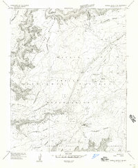
1955 · Sonsala Butte 3 NE
USGS Topo · 1:24,000
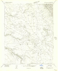
1955 · Sonsala Butte 2 NE
USGS Topo · 1:24,000
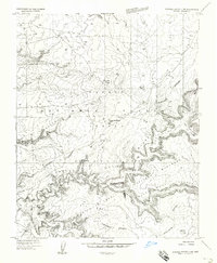
1955 · Sonsala Butte 3 NW
USGS Topo · 1:24,000
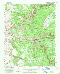
1955 · Canyon Del Muerto
USGS Topo · 1:62,500
1955 · Yellowstone Canyon
USGS Topo · 1:62,500