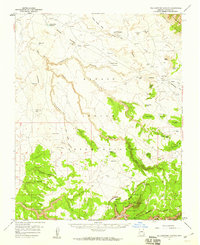
1955 Map of Yellowstone Canyon
USGS Topo · Published 1959About this map
Canyon de Chelly National Monument and the surrounding Navajo Indian Reservation dominate this mid-century landscape, revealing a complex network of sheer-walled canyons and traditional land use. The deep incisions of Canyon de Chelly and Canyon del Muerto are meticulously mapped alongside high tablelands such as Red Cornfield Mesa and Sitting Coyote Mesa. This 1950s survey documents the intersection of ancient history and contemporary life, noting Cliff Dwelling Ruins near the canyon floor and an isolated Landing Strip near Lukachukai.
Find a feature on this map
53 named features on this map. Tap any name to fly to it.
Don’t see what you’re looking for? This feature index may not catch every label — zoom into the map to look around manually.
Map Details
Editions of this 1955 Yellowstone Canyon Map
2 editions found
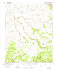
Other maps of this area

1892 · Canyon De Chelly
USGS Topo · 1:250,000

1953 · Redrock Valley SW
USGS Topo · 1:24,000

1953 · Los Gigantes SE
USGS Topo · 1:24,000

1953 · Los Gigantes SW
USGS Topo · 1:24,000

1953 · Los Gigantes Buttes
USGS Topo · 1:62,500

1953 · Redrock Valley
USGS Topo · 1:62,500

1954 · Shiprock
USGS Topo · 1:250,000

1955 · Chinle 4 NE
USGS Topo · 1:24,000
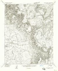
1955 · Sonsala Butte 1 NW
USGS Topo · 1:24,000

1955 · Sonsala Butte 2 SW
USGS Topo · 1:24,000