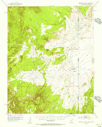
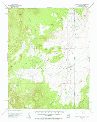
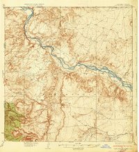
1953 Map of Redrock Valley
USGS Topo · Published 1956About this map
The Navajo Indian Reservation spans this high-desert landscape, dominated by the Carrizo Mountains to the north and the Lukachukai Mts to the south. In the early 1950s, the community of Red Rock served as a focal point for the region, housing the Red Rock Sch and a local Trading Post. The geography is defined by massive mesas such as Cove Mesa and Horse Mesa, punctuated by distinctive vertical landmarks like The Thumb and Standing Redrock. Evidence of mid-century industrial activity appears through scattered Mines and a remote Landing Strip near the state line. This survey captures a specific era of infrastructure in the Four Corners region, where traditional trading hubs and new mining interests coexisted along the seasonal flows of Blackrock Wash and Red Wash.
Find a feature on this map
32 named features on this map. Tap any name to fly to it.
Don’t see what you’re looking for? This feature index may not catch every label — zoom into the map to look around manually.
Map Details
Editions of this 1953 Redrock Valley Map
2 editions found
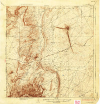
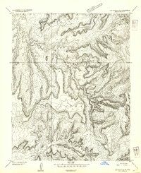
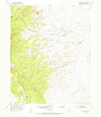
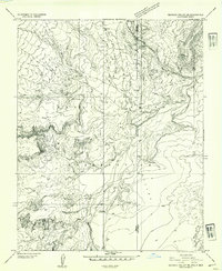
Other maps of this area

1889 · Chaco
USGS Topo · 1:250,000

1892 · Chaco
USGS Topo · 1:250,000

1892 · Canyon De Chelly
USGS Topo · 1:250,000
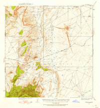
1934 · Ship Rock
USGS Topo · 1:62,500

1934 · Rattlesnake
USGS Topo · 1:62,500
1937 · Ship Rock
USGS Topo · 1:62,500
1937 · Rattlesnake
USGS Topo · 1:62,500
1953 · Los Gigantes NE
USGS Topo · 1:24,000
1953 · Sanostee
USGS Topo · 1:62,500
1953 · Redrock Valley NE
USGS Topo · 1:24,000
Featured Places
- Shiprock Agency
- Chinle Agency, AZ
- Yazzi, Shiprock Agency
- Cove, Shiprock Agency
- Horse Mesa, Shiprock Agency