
1937 Map of Ship Rock
USGS Topo · Published 1937About this map
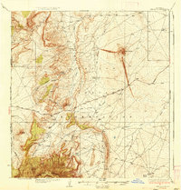
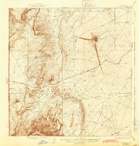
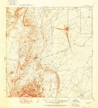
Ship Rock stands as the central landmark of this high-desert landscape in the mid-1930s, its dramatic geological form surrounded by the vast terrain of the Navajo Indian Reservation. This survey, conducted by Max J. Gleissner and R.G. Carpenter, captures a network of ephemeral watercourses including Ship Rock Wash, Red Rock Wash, and Dead Mans Wash that define the drainage patterns around the Ship Rock Ridge. To the south, the massive Beautiful Mountains rise along the state line, while distinctive formations like Mitten Rock, The Thumb, and White Rock provide crucial orientation points for travelers. The map traces the early automotive route of the Red Rock Highway, showing how transportation began to traverse this complex topography of mesas and domes, such as Tocito Dome, before modern infrastructure further altered the region.
Find a feature on this map
19 named features on this map. Tap any name to fly to it.
Don’t see what you’re looking for? This feature index may not catch every label — zoom into the map to look around manually.
Map Details
Editions of this 1937 Ship Rock Map
4 editions found
Other maps of this area

1889 · Chaco
USGS Topo · 1:250,000

1892 · Chaco
USGS Topo · 1:250,000

1892 · Canyon De Chelly
USGS Topo · 1:250,000

1927 · Sulphur Spring
USGS Topo · 1:96,000

1928 · Kirtland
USGS Topo · 1:125,000

1932 · Kirtland
USGS Topo · 1:125,000

1934 · Ship Rock
USGS Topo · 1:62,500

1934 · Chimney Rock
USGS Topo · 1:62,500

1934 · Rattlesnake
USGS Topo · 1:62,500

1936 · Chimney Rock
USGS Topo · 1:62,500