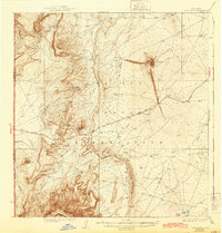
1937 Map of Ship Rock
USGS Topo · Published 1943About this map
Ship Rock stands as the dominant landmark of this high desert terrain within the Navajo Indian Reservation. This 1930s survey captures a landscape defined by dramatic geological formations and a network of seasonal watercourses. The Red Rock Highway provides the primary transit route through the territory, passing between the Beautiful Mountains to the south and the prominent monoliths of Mitten Rock and White Rock to the north.
Find a feature on this map
19 named features on this map. Tap any name to fly to it.
Don’t see what you’re looking for? This feature index may not catch every label — zoom into the map to look around manually.
Map Details
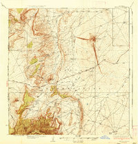
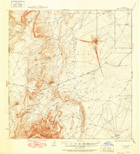
Editions of this 1937 Ship Rock Map
4 editions found

Other maps of this area

1889 · Chaco
USGS Topo · 1:250,000

1892 · Chaco
USGS Topo · 1:250,000

1892 · Canyon De Chelly
USGS Topo · 1:250,000

1927 · Sulphur Spring
USGS Topo · 1:96,000

1928 · Kirtland
USGS Topo · 1:125,000

1932 · Kirtland
USGS Topo · 1:125,000

1934 · Ship Rock
USGS Topo · 1:62,500

1934 · Chimney Rock
USGS Topo · 1:62,500

1934 · Rattlesnake
USGS Topo · 1:62,500

1936 · Chimney Rock
USGS Topo · 1:62,500