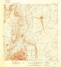
1937 Map of Ship Rock
USGS Topo · Published 1951About this map
Ship Rock towers as the dominant landmark in this 1930s survey of the high desert within the Navajo Indian Reservation. The terrain is defined by dramatic volcanic and sedimentary formations, including the distinct Mitten Rock and the prominent Ship Rock Ridge. A network of intermittent drainage systems like Ship Rock Wash and Red Wash suggests a landscape shaped by seasonal water flow, while rare water sources such as Mud Spring and Sheep Spring denote critical points in an otherwise arid environment. The presence of the Red Rock Highway and secondary routes indicate the early infrastructure connecting these remote landmarks. To the south, the massive Beautiful Mountains and the geological anomaly of Tocito Dome provide a complex backdrop for researchers studying the transition from the Chuska Mountains to the San Juan Basin floor.
Find a feature on this map
20 named features on this map. Tap any name to fly to it.
Don’t see what you’re looking for? This feature index may not catch every label — zoom into the map to look around manually.
Map Details
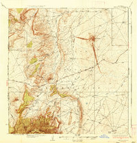
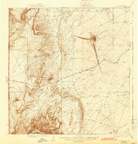
Editions of this 1937 Ship Rock Map
4 editions found

Other maps of this area

1889 · Chaco
USGS Topo · 1:250,000

1892 · Chaco
USGS Topo · 1:250,000

1892 · Canyon De Chelly
USGS Topo · 1:250,000

1927 · Sulphur Spring
USGS Topo · 1:96,000

1928 · Kirtland
USGS Topo · 1:125,000

1932 · Kirtland
USGS Topo · 1:125,000

1934 · Ship Rock
USGS Topo · 1:62,500

1934 · Chimney Rock
USGS Topo · 1:62,500

1934 · Rattlesnake
USGS Topo · 1:62,500

1936 · Chimney Rock
USGS Topo · 1:62,500