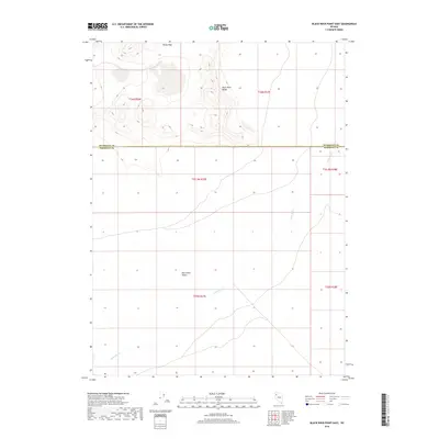
2018 Map of Black Rock Point East
USGS Topo · Published 2018About this map
The vast, flat expanse of the Black Rock Desert dominates this landscape, where the ephemeral Quinn River meanders across the basin floor. This 2018 survey documents a region defined by dramatic elevation changes, transitioning from the dry lakebed up to the high points of the Black Rock Range. To the north, the terrain ascends sharply toward Rocky Peak, while the lower elevations show the complex public land survey system grid across the Humboldt and Pershing County line. The map highlights the intersection of stark desert geology and political boundaries, providing a clear record of the basin's drainage patterns and the isolated peaks that serve as landmarks in this part of northwestern Nevada.
Find a feature on this map
11 named features on this map. Tap any name to fly to it.
Don’t see what you’re looking for? This feature index may not catch every label — zoom into the map to look around manually.
Map Details
Editions of this 2018 Black Rock Point East Map
This is the sole edition of this map. No revisions or reprints were ever made.
Other maps of this area

1886 · Disaster
USGS Topo · 1:250,000

1886 · Granite Range
USGS Topo · 1:250,000

1889 · Long Valley
USGS Topo · 1:250,000

1893 · Disaster
USGS Topo · 1:250,000

1894 · Granite Range
USGS Topo · 1:250,000

1931 · Lovelock
USGS Topo · 1:250,000

1935 · Lovelock
USGS Topo · 1:250,000

1954 · Vya
USGS Topo · 1:250,000

1955 · Lovelock
USGS Topo · 1:250,000

1958 · Vya
USGS Topo · 1:250,000