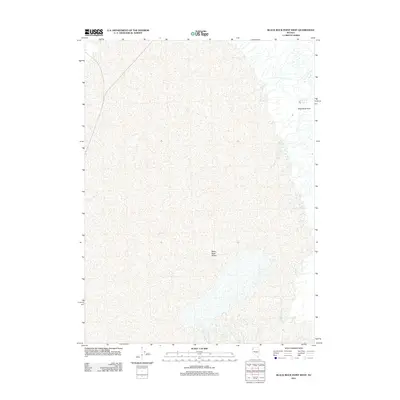
2011 Map of Black Rock Point West
USGS Topo · Published 2011About this map
The Black Rock Desert dominates this 2011 survey, showing a vast and minimalist playa in Humboldt County. The geography is defined by its extreme flatness and sparse hydration, with Black Rock Springs appearing as a rare water source on the eastern edge of the desert floor. This landscape represents one of the most distinctive geological formations in the Great Basin, characterized by alkaline flats that have historically served as a critical corridor for westward expansion and modern-day land speed record attempts. Rising above the uniform elevation of the playa, the geological feature Black Rock Point provides a singular landmark for navigation across the otherwise featureless terrain, anchoring the eastern boundary of this specific quadrangle.
Find a feature on this map
3 named features on this map. Tap any name to fly to it.
Don’t see what you’re looking for? This feature index may not catch every label — zoom into the map to look around manually.
Map Details
Editions of this 2011 Black Rock Point West Map
This is the sole edition of this map. No revisions or reprints were ever made.
Other maps of this area

1886 · Disaster
USGS Topo · 1:250,000

1886 · Granite Range
USGS Topo · 1:250,000

1889 · Long Valley
USGS Topo · 1:250,000

1893 · Disaster
USGS Topo · 1:250,000

1894 · Granite Range
USGS Topo · 1:250,000

1931 · Lovelock
USGS Topo · 1:250,000

1935 · Lovelock
USGS Topo · 1:250,000

1954 · Vya
USGS Topo · 1:250,000

1955 · Lovelock
USGS Topo · 1:250,000

1958 · Vya
USGS Topo · 1:250,000