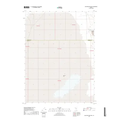
2018 Map of Black Rock Point West
USGS Topo · Published 2018About this map
Black Rock Desert dominates this northern Nevada landscape, revealing the vast alkaline expanses and isolated landmarks of the Great Basin. This recent survey highlights the precise intersection of Humboldt and Pershing counties, where the flat desert floor meets the rising terrain of Black Rock Point. The inclusion of Black Rock Springs marks a critical hydrological feature in an otherwise arid basin, a site of historical importance for travelers navigating the high desert. The map provides a detailed view of the Public Land Survey System grid, including townships like t36n r26e and t35n r26e, which organize the seemingly featureless playa. This cartography focuses on the essential transition from the dry lake bed to the more rugged eastern fringes of the quadrangle.
Find a feature on this map
12 named features on this map. Tap any name to fly to it.
Don’t see what you’re looking for? This feature index may not catch every label — zoom into the map to look around manually.
Map Details
Editions of this 2018 Black Rock Point West Map
This is the sole edition of this map. No revisions or reprints were ever made.
Other maps of this area

1886 · Disaster
USGS Topo · 1:250,000

1886 · Granite Range
USGS Topo · 1:250,000

1889 · Long Valley
USGS Topo · 1:250,000

1893 · Disaster
USGS Topo · 1:250,000

1894 · Granite Range
USGS Topo · 1:250,000

1931 · Lovelock
USGS Topo · 1:250,000

1935 · Lovelock
USGS Topo · 1:250,000

1954 · Vya
USGS Topo · 1:250,000

1955 · Lovelock
USGS Topo · 1:250,000

1958 · Vya
USGS Topo · 1:250,000