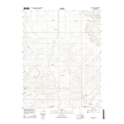
2014 Map of Black Table
USGS Topo · Published 2014About this map
Black Table rises as a central landmark in this high-desert landscape of Garfield County, characterized by a complex network of canyons and mesas. The drainage patterns of Trachyte Cr, Speck Cr, and Black Cr illustrate the erosive forces that shaped the Taylor Ridges and the Maidenwater Sands. Human presence in this arid region is marked by isolated water sources such as Maidenwater Spring and Hog Spring, which are critical infrastructure in an environment featuring the Maidenwater Reservoir.
Find a feature on this map
33 named features on this map. Tap any name to fly to it.
Don’t see what you’re looking for? This feature index may not catch every label — zoom into the map to look around manually.
Map Details
Editions of this 2014 Black Table Map
This is the sole edition of this map. No revisions or reprints were ever made.
Other maps of this area

1885 · San Rafael
USGS Topo · 1:250,000

1886 · Henry Mountains
USGS Topo · 1:250,000

1892 · Henry Mountains
USGS Topo · 1:250,000

1952 · Mt Pennell 1 SW
USGS Topo · 1:24,000

1952 · Orange Cliffs 3 SW
USGS Topo · 1:24,000

1952 · Mount Ellen 4 SW
USGS Topo · 1:24,000

1952 · Mt Pennell 1 NE
USGS Topo · 1:24,000

1952 · Mt Hillers
USGS Topo · 1:62,500

1952 · Mt Pennell 1 SE
USGS Topo · 1:24,000

1952 · Mt Pennell 1 NW
USGS Topo · 1:24,000