
1952 Map of Mt Hillers
USGS Topo · Published 1954About this map
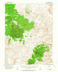
Mt Hillers and the Henry Mountains dominate this 1950s landscape, revealing a remote terrain defined by isolated water sources and early extraction efforts. The map captures an era when transportation through this portion of Garfield County relied on a rudimentary network of trails and unimproved dirt roads, with a remote Landing Strip serving as a vital link for the high desert interior. Human presence is sparse, centered on the Trachyte Ranch and small-scale operations like the Del Monte Mine.
Find a feature on this map
70 named features on this map. Tap any name to fly to it.
Don’t see what you’re looking for? This feature index may not catch every label — zoom into the map to look around manually.
Map Details
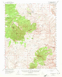
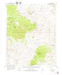
Editions of this 1952 Mt Hillers Map
4 editions found
Other maps of this area

1885 · San Rafael
USGS Topo · 1:250,000

1886 · Henry Mountains
USGS Topo · 1:250,000

1892 · Henry Mountains
USGS Topo · 1:250,000

1952 · Mt Pennell 1 SW
USGS Topo · 1:24,000

1952 · Orange Cliffs 3 SW
USGS Topo · 1:24,000

1952 · Mount Ellen 4 SW
USGS Topo · 1:24,000

1952 · Mt Pennell 2 NE
USGS Topo · 1:24,000

1952 · Mancos Mesa
USGS Topo · 1:62,500

1952 · Mt Pennell 1 NE
USGS Topo · 1:24,000

1952 · Mt Pennell 1 SE
USGS Topo · 1:24,000