
1952 Map of Mancos Mesa
USGS Topo · Published 1954About this map
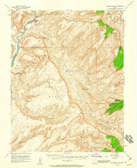
The Colorado River carves a deep path through the western edge of this terrain, serving as the boundary between Garfield and San Juan counties in the early 1950s. The landscape is defined by the massive plateau of Mancos Mesa and a network of intricate drainages including Red Canyon and Moqui Canyon. Navigational markers along the river corridor include Ticaboo No 1 Rapids and Ticaboo No 2 Rapids, while the presence of a lone Landing Strip near the river suggests the isolation of the area during this era of exploration. Geologic features like The Rincon, Castle Butte, and the Chocolate Drop provide distinctive landmarks across this sparsely developed region of southern Utah. The map also captures several Tunnels and a Tunnel site, indicating early infrastructure for mineral or water access.
Find a feature on this map
23 named features on this map. Tap any name to fly to it.
Don’t see what you’re looking for? This feature index may not catch every label — zoom into the map to look around manually.
Map Details
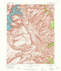
Editions of this 1952 Mancos Mesa Map
3 editions found
Other maps of this area

1886 · Henry Mountains
USGS Topo · 1:250,000

1892 · Henry Mountains
USGS Topo · 1:250,000

1952 · Mouth of Dark Canyon
USGS Topo · 1:62,500

1952 · Natural Bridges
USGS Topo · 1:62,500

1952 · Mt Hillers
USGS Topo · 1:62,500

1952 · Mt Pennell 1 SE
USGS Topo · 1:24,000

1952 · Hite
USGS Topo · 1:62,500

1953 · Mt Pennell 4 NE
USGS Topo · 1:24,000

1953 · Lake Canyon
USGS Topo · 1:62,500

1953 · Mt. Ellsworth
USGS Topo · 1:62,500