
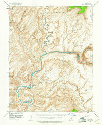
1952 Map of Hite
USGS Topo · Published 1955About this map
Hite serves as a remote hub for travel and resource extraction in the mid-century canyonlands of Garfield and San Juan Counties. The settlement sits at a critical junction where the Colorado River meets White Canyon and North Wash, dominated by the presence of Dandy Crossing (Ferry), which provided one of the few ways to traverse the deep river gorges of the era. The landscape is defined by the confluence of the Dirty Devil River and the Colorado, showing the complex drainage systems that carved through Glen Canyon and Cataract Canyon before the river was dammed.
Find a feature on this map
45 named features on this map. Tap any name to fly to it.
Don’t see what you’re looking for? This feature index may not catch every label — zoom into the map to look around manually.
Map Details
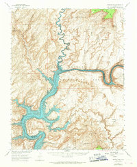
Editions of this 1952 Hite Map
3 editions found
Other maps of this area

1885 · San Rafael
USGS Topo · 1:250,000

1886 · Henry Mountains
USGS Topo · 1:250,000

1892 · Henry Mountains
USGS Topo · 1:250,000

1952 · Mouth of Dark Canyon
USGS Topo · 1:62,500

1952 · Orange Cliffs 3 SW
USGS Topo · 1:24,000

1952 · Mancos Mesa
USGS Topo · 1:62,500

1952 · Mt Pennell 1 NE
USGS Topo · 1:24,000

1952 · Natural Bridges
USGS Topo · 1:62,500

1952 · Mt Hillers
USGS Topo · 1:62,500

1952 · Mt Pennell 1 SE
USGS Topo · 1:24,000