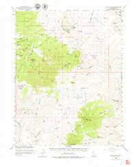
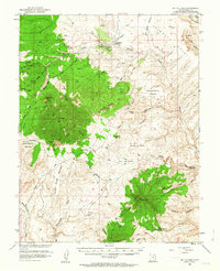
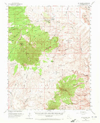
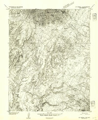
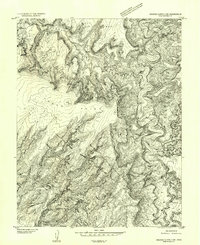
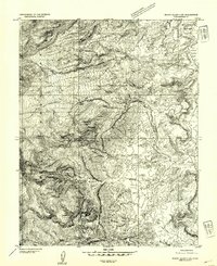
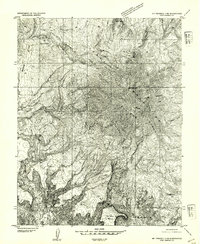
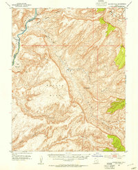
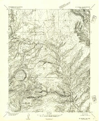
1952 Map of Mt Hillers
USGS Topo · Published 1979About this map
The Little Rockies and the Henry Mountains dominate this high-altitude landscape in the early 1950s, a period of notable exploration and resource survey. Mt Hillers and Mt Holmes rise above a complex network of canyons and mesas, where early ranching and mineral exploration left their mark. The Trachyte Ranch sits in the shadow of Trachyte Point, while the presence of the Del Monte Mine and a lone Prospect near Farmers Knob indicate the mining interests that drove mapping efforts in this corner of Garfield County.
Find a feature on this map
66 named features on this map. Tap any name to fly to it.
Don’t see what you’re looking for? This feature index may not catch every label — zoom into the map to look around manually.
Map Details
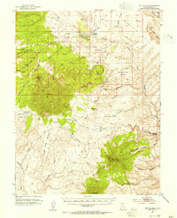
Editions of this 1952 Mt Hillers Map
4 editions found
Other maps of this area

1885 · San Rafael
USGS Topo · 1:250,000

1886 · Henry Mountains
USGS Topo · 1:250,000

1892 · Henry Mountains
USGS Topo · 1:250,000
1952 · Mt Pennell 1 SW
USGS Topo · 1:24,000
1952 · Orange Cliffs 3 SW
USGS Topo · 1:24,000
1952 · Mount Ellen 4 SW
USGS Topo · 1:24,000
1952 · Mt Pennell 2 NE
USGS Topo · 1:24,000
1952 · Mancos Mesa
USGS Topo · 1:62,500
1952 · Mt Pennell 1 NE
USGS Topo · 1:24,000
1952 · Mt Hillers
USGS Topo · 1:62,500