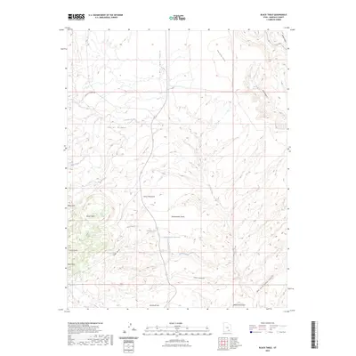
2023 Map of Black Table
USGS Topo · Published 2023About this map
Henry Mountains slopes and high plateaus dominate this Garfield County landscape, defined by a complex network of drainages and dramatic geological uplifts. The eastern foothills include notable landmarks such as Black Table and the distinctively shaped Cocks Comb and Hogs Back ridges. Water is a critical element in this arid environment, marked by the presence of Maidenwater Spring and the Maidenwater Reservoir, which collect runoff from the surrounding heights. The map tracks the passage of Trachyte Creek and Black Creek as they cut through the terrain toward deeper canyons. Human presence is limited to remote access routes like E Trachyte Ranch Rd, highlighting the area's use for ranching and resource management within the high desert. Various landforms, from the deep Woodruff Hole to the expansive Maidenwater Sands, illustrate the erosion patterns characteristic of the Colorado Plateau region.
Find a feature on this map
24 named features on this map. Tap any name to fly to it.
Don’t see what you’re looking for? This feature index may not catch every label — zoom into the map to look around manually.
Map Details
Editions of this 2023 Black Table Map
This is the sole edition of this map. No revisions or reprints were ever made.
Other maps of this area

1885 · San Rafael
USGS Topo · 1:250,000

1886 · Henry Mountains
USGS Topo · 1:250,000

1892 · Henry Mountains
USGS Topo · 1:250,000

1952 · Mt Pennell 1 SW
USGS Topo · 1:24,000

1952 · Orange Cliffs 3 SW
USGS Topo · 1:24,000

1952 · Mount Ellen 4 SW
USGS Topo · 1:24,000

1952 · Mt Pennell 1 NE
USGS Topo · 1:24,000

1952 · Mt Hillers
USGS Topo · 1:62,500

1952 · Mt Pennell 1 SE
USGS Topo · 1:24,000

1952 · Mt Pennell 1 NW
USGS Topo · 1:24,000