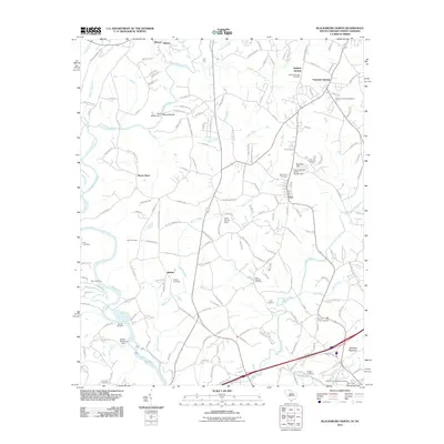
2011 Map of Blacksburg North
USGS Topo · Published 2011About this map
Patterson Springs and the village of Earl anchor this section of the North Carolina and South Carolina borderlands, where the landscape is defined by the winding paths of the First Broad River and Bowens River. The area is notably dense with family and community burial sites, including the Sulphur Springs Cemetery, Buffalo Cemetery, and Rock Springs Cemetery, which provide essential touchstones for local genealogical research. Industrial and utility footprints are visible through several water management structures like the Stice Shoals Dam and the Fiber Industries Water Supply Dam, reflecting the region's reliance on its river systems. This map captures the transition from the rolling terrain near Whitaker Mountain to the river bottoms, showing a network of rural roads that connect long-established settlements such as Buffalo and Sharon at the start of the 21st century.
Find a feature on this map
172 named features on this map. Tap any name to fly to it.
Don’t see what you’re looking for? This feature index may not catch every label — zoom into the map to look around manually.
Map Details
Editions of this 2011 Blacksburg North Map
This is the sole edition of this map. No revisions or reprints were ever made.
Other maps of this area

1906 · Kings Mountain
USGS Topo · 1:62,500

1908 · Kings Mountain
USGS Topo · 1:62,500

1909 · Gaffney
USGS Topo · 1:62,500

1909 · Lincolnton
USGS Topo · 1:62,500

1911 · Lincolnton
USGS Topo · 1:62,500

1950 · Shelby
USGS Topo · 1:62,500

1953 · Charlotte
USGS Topo · 1:250,000

1954 · Charlotte
USGS Topo · 1:250,000

1960 · Charlotte
USGS Topo · 1:250,000

1962 · Charlotte
USGS Topo · 1:250,000