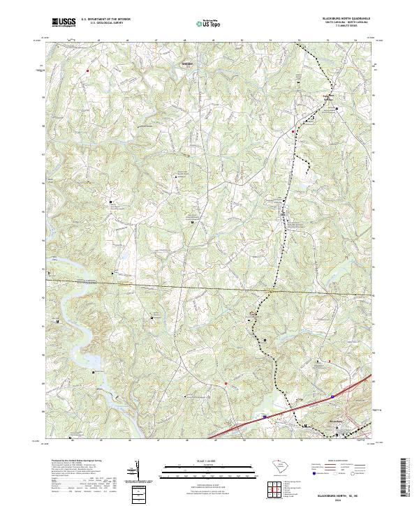
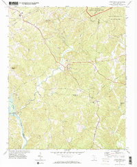
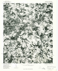
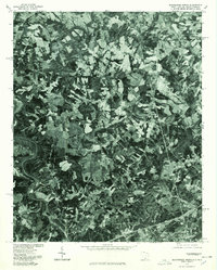
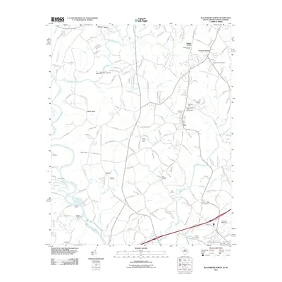
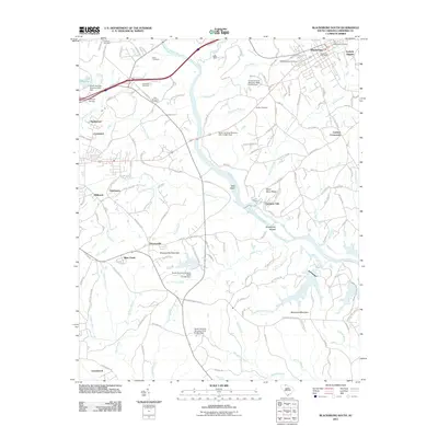
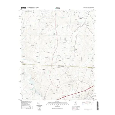
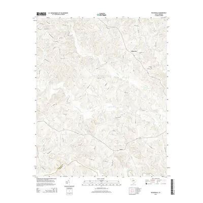
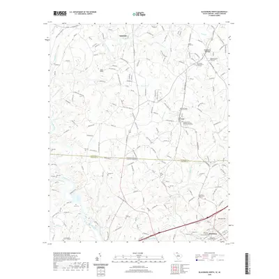
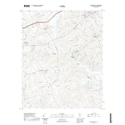
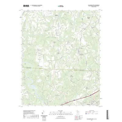
2024 Map of Blacksburg North
USGS Topo · Published 2024About this map
Shelby and the borderlands of North and South Carolina are defined by a network of waterways and historic crossroads at the intersection of Cleveland and Cherokee counties. The Broad River and First Broad River dominate the western landscape, characterized by traditional crossing points such as Buck Ford and Ellis Ferry, reflecting an era when river geography dictated local movement. Further south, the river transitions through Styce Shoals and Gaston Shoals, illustrating the hydraulic character of the region.
Find a feature on this map
186 named features on this map. Tap any name to fly to it.
Don’t see what you’re looking for? This feature index may not catch every label — zoom into the map to look around manually.
Map Details
Editions of this 2024 Blacksburg North Map
This is the sole edition of this map. No revisions or reprints were ever made.
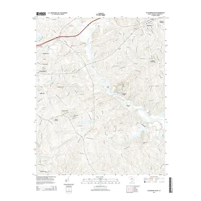
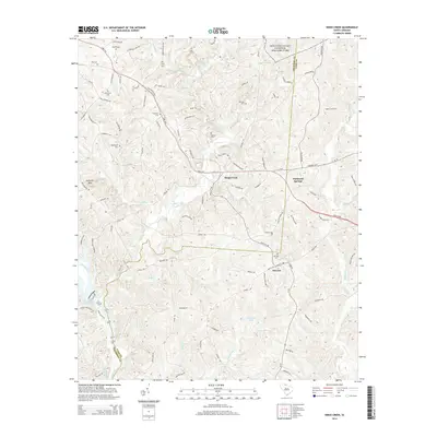
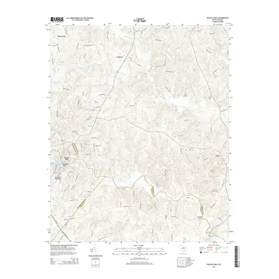
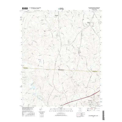
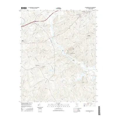
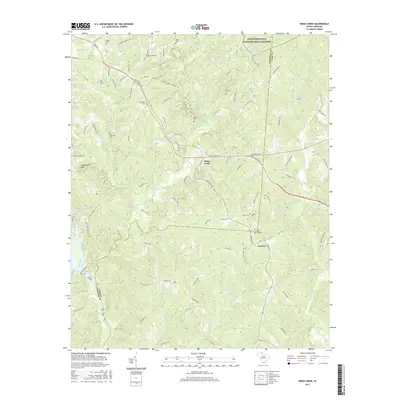
Historical Maps of Shelby Through Time
32 maps found
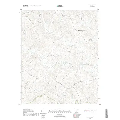
1968 Wilkinsville
Cherokee County, SC
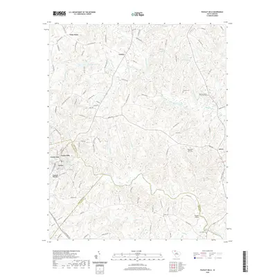
1969 Pacolet Mills
Cherokee County, SC
1971 Blacksburg South
Cherokee County, SC
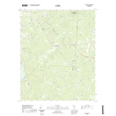
1971 Kings Creek
Cherokee County, SC
1975 Cowpens NE
Cherokee County, SC
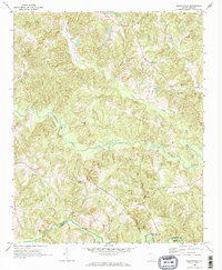
1976 Blacksburg North
Cherokee County, SC
2011 Blacksburg North
Cherokee County, SC
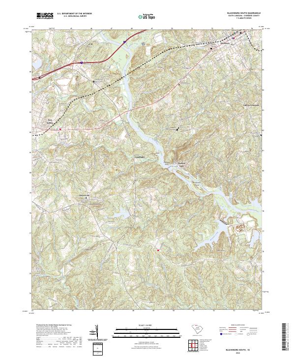
2011 Blacksburg South
Cherokee County, SC
2011 Kings Creek
Cherokee County, SC
2011 Pacolet Mills
Cherokee County, SC
2011 Wilkinsville
Cherokee County, SC
2014 Blacksburg North
Cherokee County, SC
2014 Blacksburg South
Cherokee County, SC
2014 Kings Creek
Cherokee County, SC
2014 Pacolet Mills
Cherokee County, SC
2014 Wilkinsville
Cherokee County, SC
2017 Blacksburg North
Cherokee County, SC
2017 Blacksburg South
Cherokee County, SC
2017 Kings Creek
Cherokee County, SC
2017 Pacolet Mills
Cherokee County, SC
2017 Wilkinsville
Cherokee County, SC
2020 Blacksburg North
Cherokee County, SC
2020 Blacksburg South
Cherokee County, SC
2020 Kings Creek
Cherokee County, SC
2020 Pacolet Mills
Cherokee County, SC
2020 Wilkinsville
Cherokee County, SC
2023 Blacksburg North
Cherokee County, SC
2024 Blacksburg North
Cherokee County, SC
2024 Blacksburg South
Cherokee County, SC
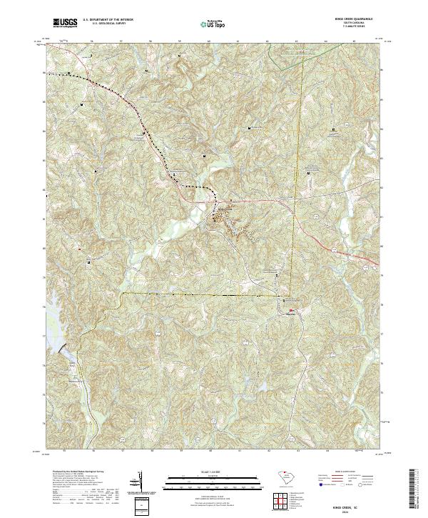
2024 Kings Creek
Cherokee County, SC
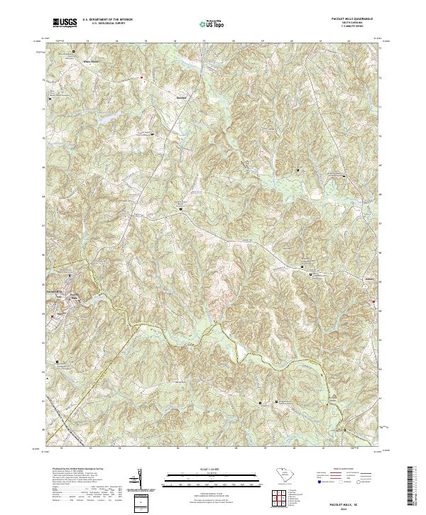
2024 Pacolet Mills
Cherokee County, SC
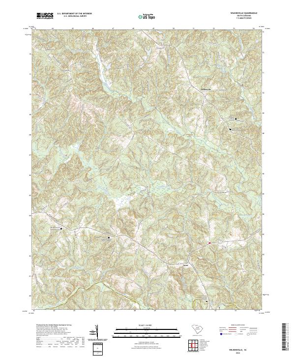
2024 Wilkinsville
Cherokee County, SC