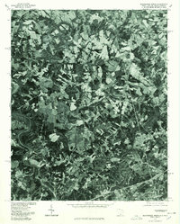
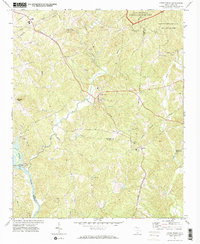
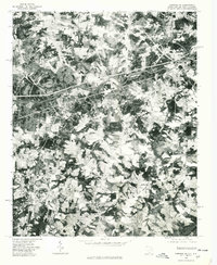
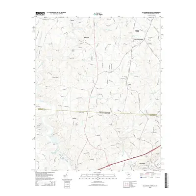
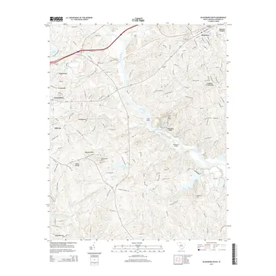
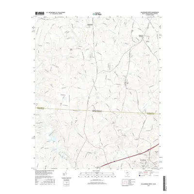
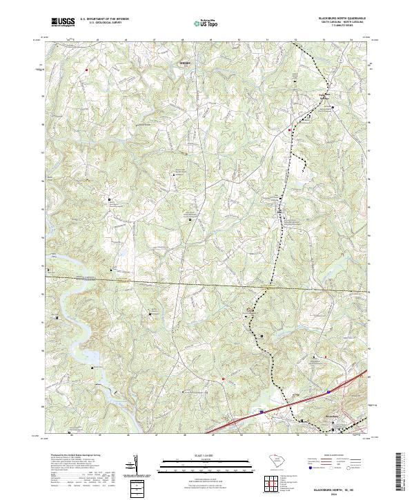
1976 Map of Blacksburg North
USGS Topo · Published 1978About this map
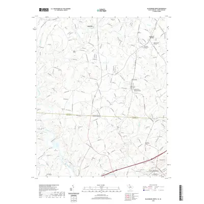
Blacksburg serves as the southern anchor of this orthophotoquad, which captures the interstate borderlands of South Carolina and North Carolina in the mid-1970s. The landscape is defined by the confluence of major waterways, including the winding Broad River and the First Broad River, which snake through a patchwork of agricultural fields and dense woodland. North of the state line, the small settlements of Earl and Patterson Springs appear as tight clusters of structures along the developing road network. Unlike traditional topographic maps, this aerial imagery provides a direct look at the 1976 land use patterns, showing the scale of clearing along Buffalo Creek and the early industrial or commercial footprints near the primary transit corridors. It is an essential record of the region's rural character before modern suburban expansion began to alter the historical boundaries between these border communities.
Find a feature on this map
6 named features on this map. Tap any name to fly to it.
Don’t see what you’re looking for? This feature index may not catch every label — zoom into the map to look around manually.
Map Details
Editions of this 1976 Blacksburg North Map
This is the sole edition of this map. No revisions or reprints were ever made.
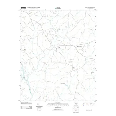
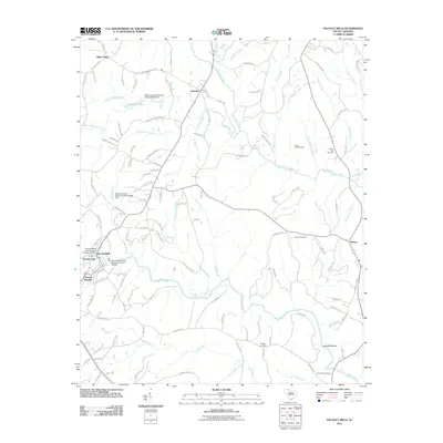
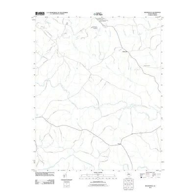
Historical Maps of Shelby Through Time
32 maps found
1968 Wilkinsville
Cherokee County, SC
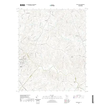
1969 Pacolet Mills
Cherokee County, SC
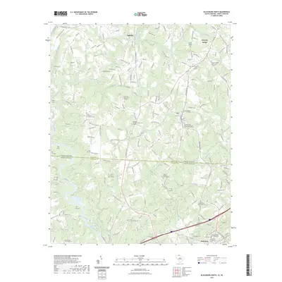
1971 Blacksburg South
Cherokee County, SC
1971 Kings Creek
Cherokee County, SC
1975 Cowpens NE
Cherokee County, SC
1976 Blacksburg North
Cherokee County, SC
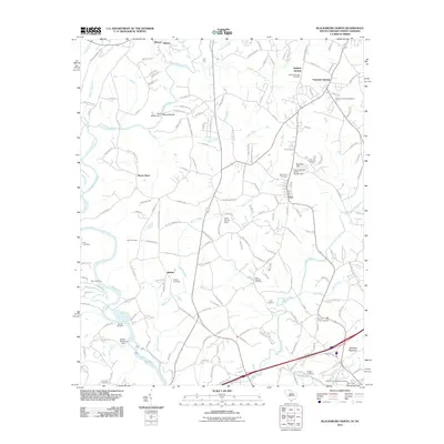
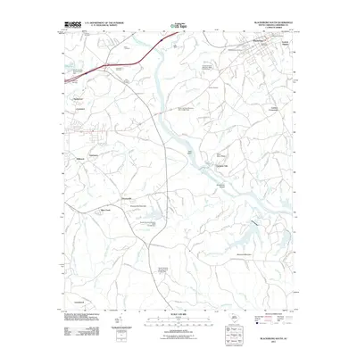
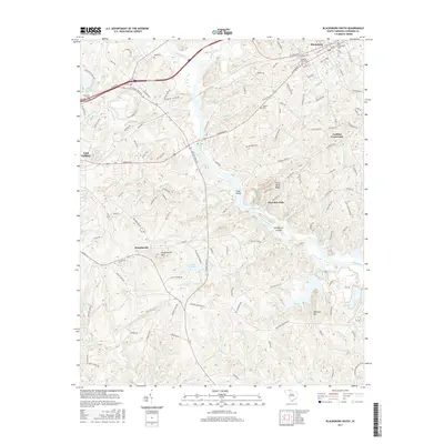
2011 Blacksburg North
Cherokee County, SC
2011 Blacksburg South
Cherokee County, SC
2011 Kings Creek
Cherokee County, SC
2011 Pacolet Mills
Cherokee County, SC
2011 Wilkinsville
Cherokee County, SC
2014 Blacksburg North
Cherokee County, SC
2014 Blacksburg South
Cherokee County, SC
2014 Kings Creek
Cherokee County, SC
2014 Pacolet Mills
Cherokee County, SC
2014 Wilkinsville
Cherokee County, SC
2017 Blacksburg North
Cherokee County, SC
2017 Blacksburg South
Cherokee County, SC
2017 Kings Creek
Cherokee County, SC
2017 Pacolet Mills
Cherokee County, SC
2017 Wilkinsville
Cherokee County, SC
2020 Blacksburg North
Cherokee County, SC
2020 Blacksburg South
Cherokee County, SC
2020 Kings Creek
Cherokee County, SC
2020 Pacolet Mills
Cherokee County, SC
2020 Wilkinsville
Cherokee County, SC
2023 Blacksburg North
Cherokee County, SC
2024 Blacksburg North
Cherokee County, SC
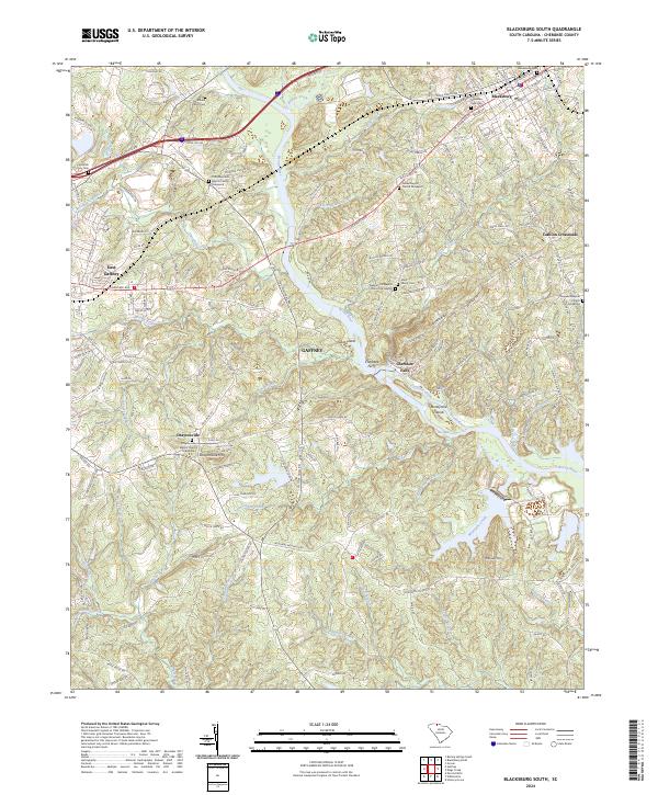
2024 Blacksburg South
Cherokee County, SC
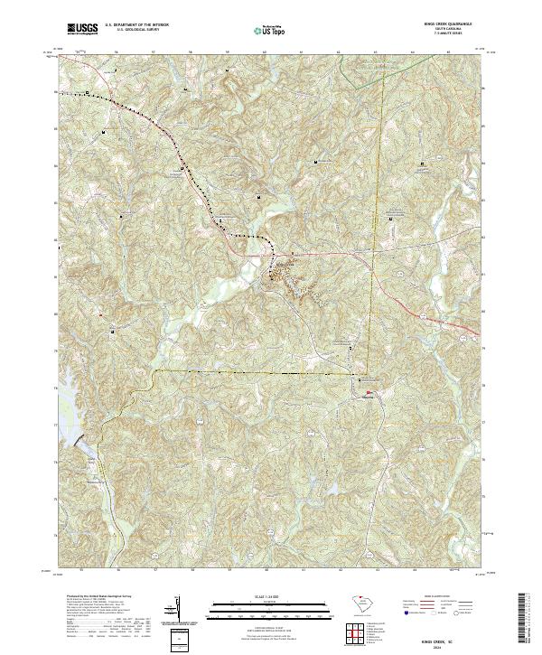
2024 Kings Creek
Cherokee County, SC
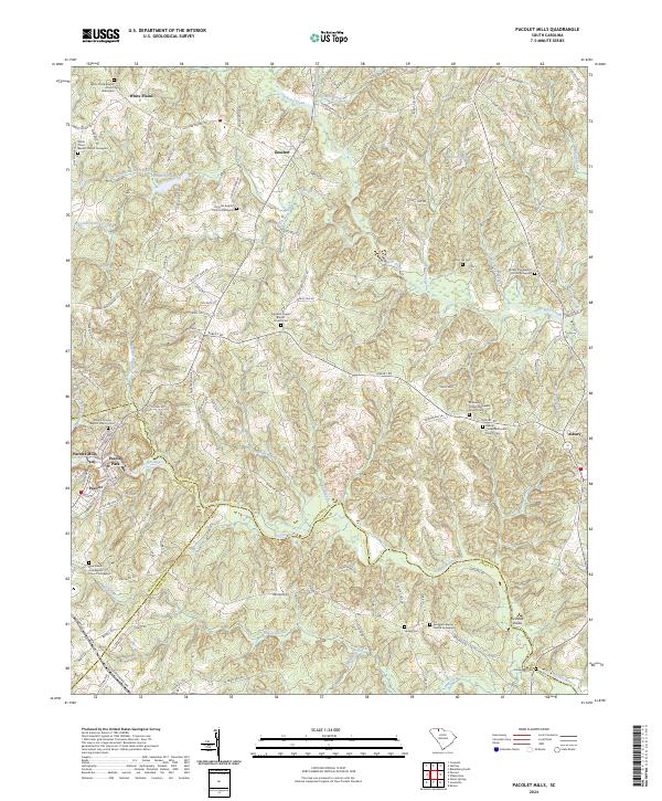
2024 Pacolet Mills
Cherokee County, SC
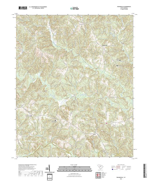
2024 Wilkinsville
Cherokee County, SC